Live
- 6 skin tightening face packs for flawless skin
- AAP releases its 40 star campaigners for Gujarat, Sunita Kejriwal's name also included
- Supreme Court Considers Voting Transparency: Challenges Of Reverting To Paper Ballots Examined
- Arrests Made In Salman Khan Residence Shooting Case: Suspects' Intricate Escape Journey Unveiled
- Police Encounter Claims Life Of Top Naxal Leader In Chhattisgarh's Kanker District
- UPSC Civil Services Results Declared: Telugu Candidates Shine with Impressive Ranks
- Union Minister Gadkari promises speedy transformation of Nagpur
- Logistics platform ClickPost raises funds to launch AI-driven modules
- YS Jagan Receives Grand Welcome in Ganapavaram During Memanta Siddham Bus Yatra
- Dragged by weak global cues, domestic equities extend their decline
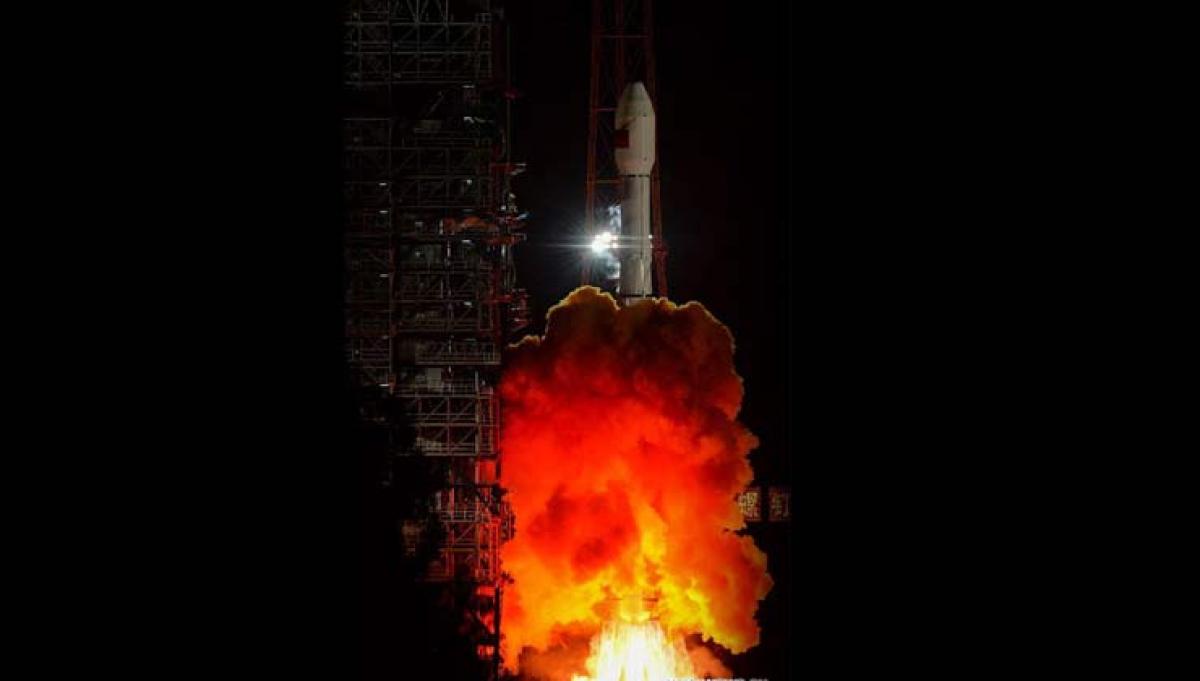
INSAT-3D helped track Hudhud accurately: IMD


Images from INSAT-3D, which became operational in January this year, played an important role while tracking Cyclone Hudhud which hit the east coast in the State on October 12, according to Indian Meteorological Department.
 New Delhi: Images from INSAT-3D, which became operational in January this year, played an important role while tracking Cyclone Hudhud which hit the east coast in the State on October 12, according to Indian Meteorological Department.
"This was for the first time that all the "products" of INSAT-3D satellite were fully utilised with the development of new products like enhanced IR imageries and coloured enhanced imageries and were made available through an exclusive page for cyclone images in IMD website (www.Imd.Gov.In)," a report by IMD said.
Launched in July 2013 by INSAT by the ISRO from French Guiana, the satellite became operational in January this year and linked to its website. It is a meteorology specific satellite.
Before INSAT 3D, images were used by from another meteorological satellite Kalpana 1. INSAT 3D not only gives colour imageries, but also images of better resolution compared to Kalpana 1.
During Cyclone Phailin, which hit east coast at the same time last year, images from Kalpana played a vital role.
"The images from the INSAT 3D give better resolution and allow more precise forecast," said Mritunjay Mohapatra, Scientist, incharge of Cylone Warning Division.
"Kalpana's images are black and white whereas INSAT 3D has colour images. It helps in giving more accurate forecast. This time our system was more like the National Huricance Centre in the US," said A K Mitra, Director (software).
A senior IMD official, however, added that a lot needs to be done in getting better resolution. Hudhud originated from a low pressure are over Tenasserim coast and adjoining North Andaman Sea on 6th October 2014. It concentrated into a depression over North Andaman Sea the next day morning over the North Andaman Sea while moving west-north-westwards.
On the same day the region and associated wind speed was about 25-30 knots. The wind speed was relatively higher in northern sector of the system. According to satellite observation, intense to very intense convection was seen over Andaman Sea and adjoining area on October 7. It made landfall on the coast on October 12 inflicting maximum damage to Visakhapatnam district.


