6.1 Magnitude Earthquake in China's Xinjiang: US Geological Survey

6.1 Magnitude Earthquake in Chinas Xinjiang: US Geological Survey
x
Highlights

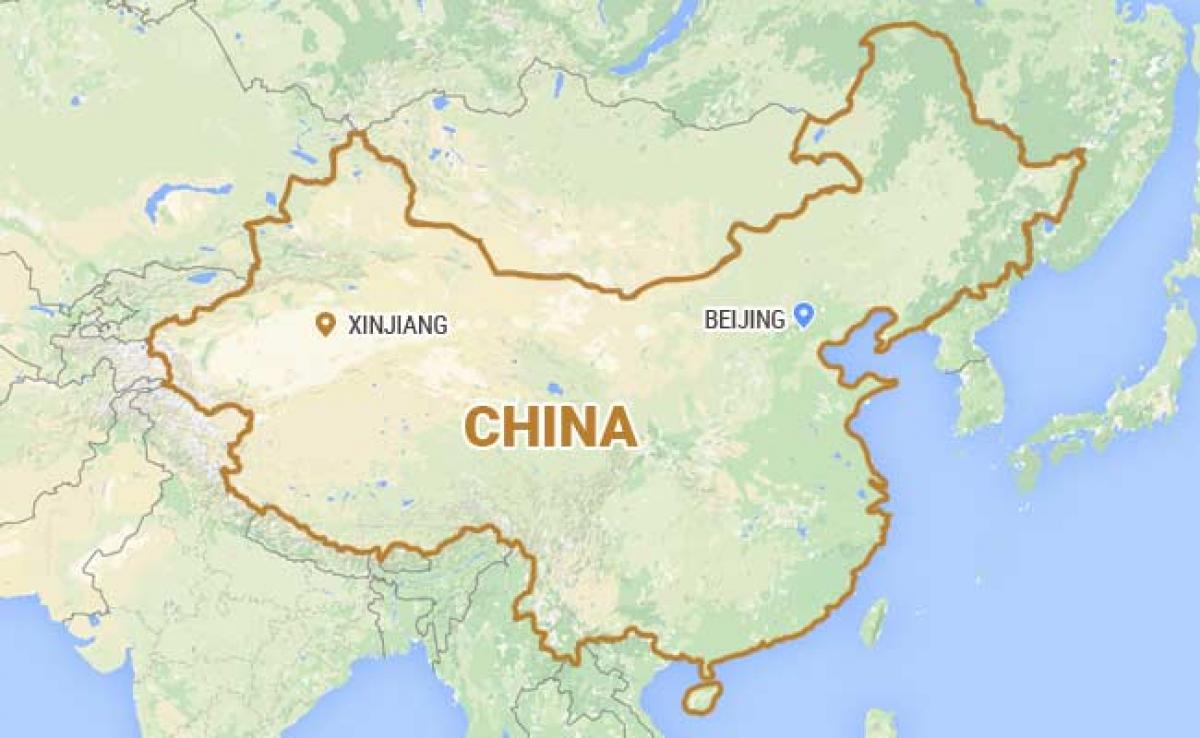
An earthquake with a magnitude of 6.1 struck China\'s far western region of Xinjiang today, the US Geological Survey said.The epicentre was 164 kilometres (102 miles) northwest of the city of Hotan and 131 kilometres southeast of Shache, known as Yarkand in Uighur, the language of the local mainly Muslim minority.

An earthquake with a magnitude of 6.1 struck China's far western region of Xinjiang today, the US Geological Survey said.The epicentre was 164 kilometres (102 miles) northwest of the city of Hotan and 131 kilometres southeast of Shache, known as Yarkand in Uighur, the language of the local mainly Muslim minority.


The location given by USGS put it on the edge of the Taklamakan desert, a vast and uninhabited region.

The China Earthquake Network Centre gave the magnitude as 6.5.

USGS gave the estimated depth at 10 kilometres, a default setting for mid-continental tremors when data is limited.

China is regularly hit by earthquakes, particularly in its southwestern provinces of Sichuan and Yunnan.

Neighbouring Nepal, on the other side of the Himalayas, was hit by a devastating tremor in April which killed more than 8,800 people.

In May 2008, a 7.9 magnitude quake rocked Sichuan, killing more than 80,000 people and flattening swathes of the province in China's worst earthquake for more than three decades.

Last October, hundreds of people were injured and more than 100,000 displaced after a shallow 6.0 magnitude tremor hit Yunnan province, close to China's borders with Myanmar and Laos.

And last August, a 6.1-magnitude quake struck Yunnan, killing more than 600 people.
Show Full Article
Print Article
Next Story
More Stories
ADVERTISEMENT
ADVERTISEMENTS