Live
- You are freeloader, not students: JNUSU slams VC
- 9 Padma awardees: Burns survivor, disabled achiever, wheel-chair bound educationist awarded
- 36 nominations received on 5th day in YSR district
- TS Inter results 2024 announced, check the results comparison to that of 2023
- Centre seeks info from Singapore on spices ban
- Student murder case: Bike riders create a storm from Bengaluru to Hubballi
- New machine learning models to boost diagnosis of women’s heart disease
- Life comes full circle for pastry chef Nikitha Umesh with ‘Master Chef India Telugu’
- Exploring contrasts in classical dance
- Empowering the workplace through skill enhancement


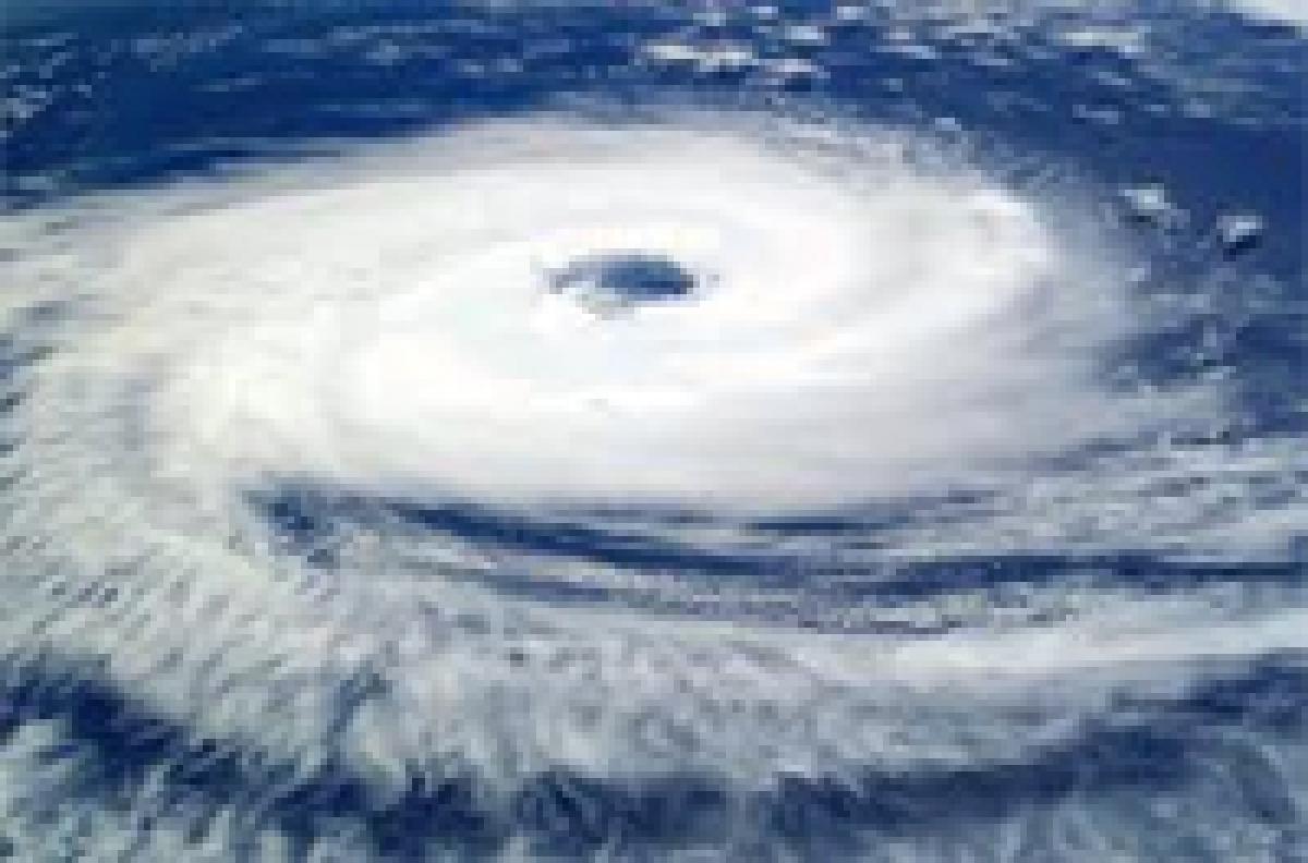
.jpg) Kolkata: A deep depression over northeast Bay of Bengal today intensified into cyclonic storm 'Komen', with the MeT department forecasting heavy to very heavy rains with isolated extremely heavy rains in Gangetic West Bengal.
Kolkata: A deep depression over northeast Bay of Bengal today intensified into cyclonic storm 'Komen', with the MeT department forecasting heavy to very heavy rains with isolated extremely heavy rains in Gangetic West Bengal.


