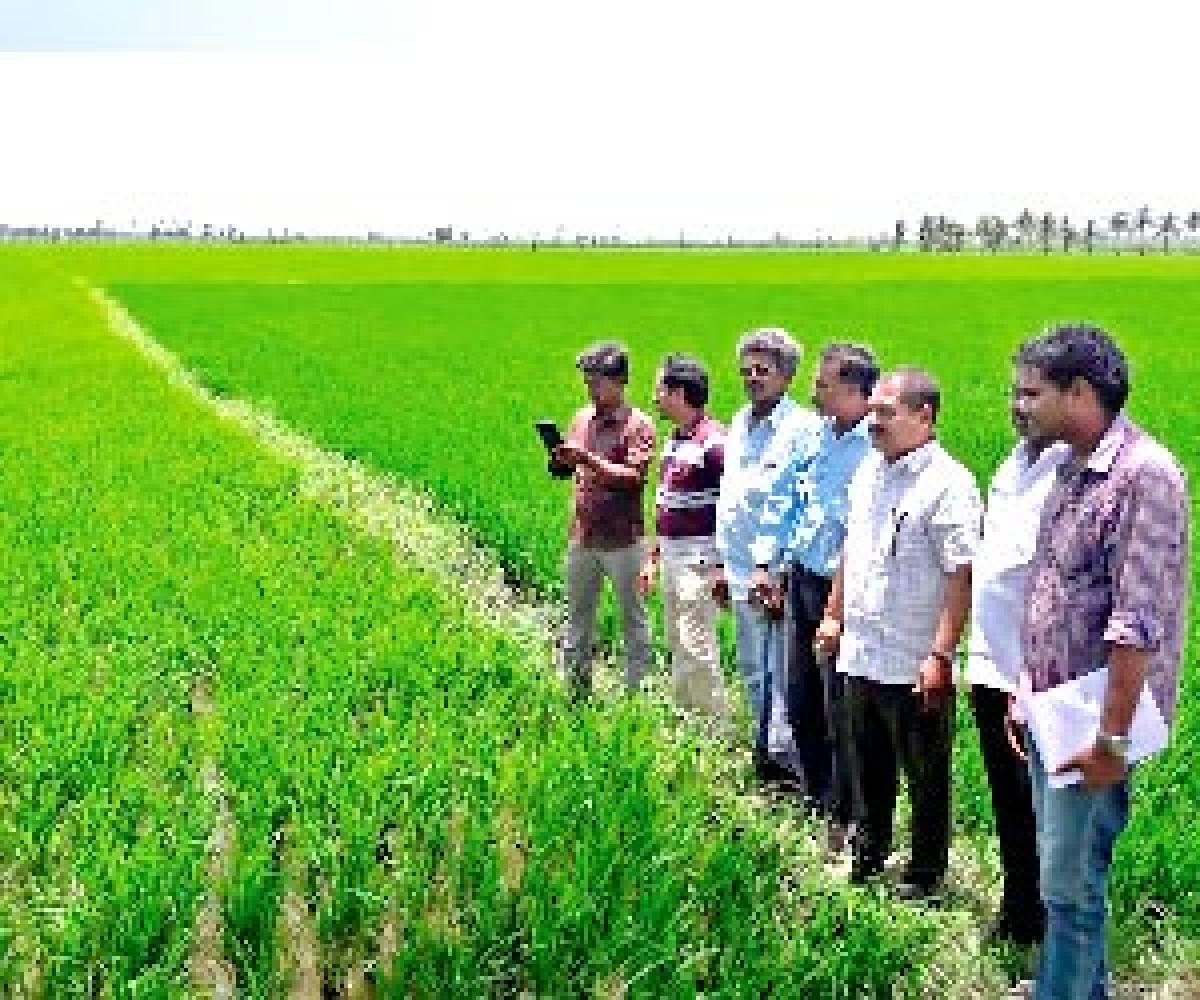
Geo-tagging to ensure better land management

Geo-tagging to ensure better land management
x
Highlights

In a bid to ensure better and scientific management of land issues, the Andhra Pradesh government has launched e-crop

- The village-level revenue officials were issued tablet PCs to record the crop details electronically
- East Godavari tops in implementation of e-crop booking in the State

Rajamahendravaram: In a bid to ensure better and scientific management of land issues, the Andhra Pradesh government has launched e-crop booking software to geo-tag every piece of land in the State and handed over computer tablets to revenue officers for completing the task.

The initiative was launched across the State as part of various reforms in the Revenue Department. The move would help in better land management and crop management. It would provide crop-wise details as also evidence in case of crop damage and enable officials to verify claims. In terms of land management, satellite imagery would be used to cross check with the details on the ground. Ultimately, there would be database of all lands.

Cotton cultivated in 9,000 hectares, pulses in 4,000 hectares, maize in 1,200 hectares and paddy cultivated in 2.29 lakh hectares has been geo-tagged in the district so far. The app would also help regulate the excessive use of urea by farmers, bring down the cost of farming and address soil imbalances and its ill-effects caused by its unnecessary use.

Using the land details and the crop sown by the farmer, the software will work out the quantity of urea required. There has been a tendency among farmers to use more urea as it gives a lush, green look to the crop as well as a substitute for more expensive fertilisers, observed an official of the Agriculture Department.

With an aim to speed up the updating and delivery of revenue records, the government has introduced e-crop booking software. The GPS-enabled Tabs have the adangal pre-loaded and the field level staff are expected to fill it at the farm taking a photo of the crop. The software immediately records it on the map. The revenue officials at the district level can monitor the authenticity of the data. The Agriculture department has appointed 60 Multi Purpose Extension Officers (MPEOs) in addition to existing 199 MPEOs to expedite geo-tagging of land in the district.

Speaking to The Hans India, deputy director of Agriculture V T Rama Rao informed that East Godavari district tops in implementation of e-crop booking in the State. He informed that the State government has also introduced e-agriculture app which helps farmers to know the market prices, climatic conditions, nature of soil, plant diseases and remedies for insect pests and diseases.

Samson Raj

Show Full Article
Print Article
Next Story
More Stories
ADVERTISEMENT
ADVERTISEMENTS