NASA balloon mission may help improve weather forecasting

NASA balloon mission may help improve weather forecasting
x
Highlights

The images of a thin group of seasonal electric blue clouds on the cusp of our atmosphere captured by a new NASA balloon mission may lead to improved weather forecasting, the US space agency has said

Washington: The images of a thin group of seasonal electric blue clouds on the cusp of our atmosphere captured by a new NASA balloon mission may lead to improved weather forecasting, the US space agency has said.

Data from these clouds, known as noctilucent clouds or polar mesospheric clouds (PMCs), may help scientists better understand turbulence in the atmosphere, as well as in oceans, lakes and other planetary atmospheres, NASA said in a statement on Thursday.

The NASA long-duration balloon mission observed these clouds over the course of five days at their home in the mesosphere. Scientists have just begun to analyse the photos captured by the mission, the statement added.

"From what we've seen so far, we expect to have a really spectacular dataset from this mission," said Dave Fritts, principal investigator of the PMC Turbo mission at Global Atmospheric Technologies and Sciences in Boulder, Colorado. "Our cameras were likely able to capture some really interesting events that we hope will provide new insights into these complex dynamics," Fritts added.

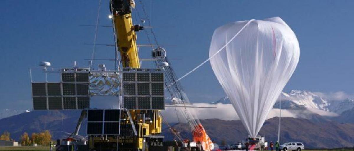
NASA's PMC Turbo mission launched a giant balloon on July 8 to study PMCs at a height of 50 miles above the surface. For five days, the balloon floated through the stratosphere from its launch at Esrange, Sweden, across the Arctic to Western Nunavut, Canada. During its flight, cameras on board the balloon captured six million high-resolution images filling up 120 terabytes of data storage -- most of which included a variety of PMC displays, revealing the processes leading to turbulence, NASA said.

Show Full Article
Print Article
More On
Next Story
More Stories
ADVERTISEMENT
ADVERTISEMENTS