Sitarama project LiDAR survey begins

Sitarama project LiDAR survey begins
x
Highlights

The Light Detection and Ranging (LiDAR) survey to study the pumping of Godavari river water for the Rs 7,967 crore Sri Sitarama Lift Irrigation Project, the redesigned Dummugudem Lift Irrigation Scheme envisaging integration of Rajiv Sagar and Indira Sagar projects, has began on Monday.

Khammam: The Light Detection and Ranging (LiDAR) survey to study the pumping of Godavari river water for the Rs 7,967 crore Sri Sitarama Lift Irrigation Project, the redesigned Dummugudem Lift Irrigation Scheme envisaging integration of Rajiv Sagar and Indira Sagar projects, has began on Monday.

The survey will come in handy for the irrigation authorities in deciding flow dynamics of water. LiDAR is a remote sensing technology used to examine the surface of the Earth. The LiDAR survey measures distance by illuminating a target with a laser and analysing the reflected light. Lidar is used as a technology to make high-resolution maps.

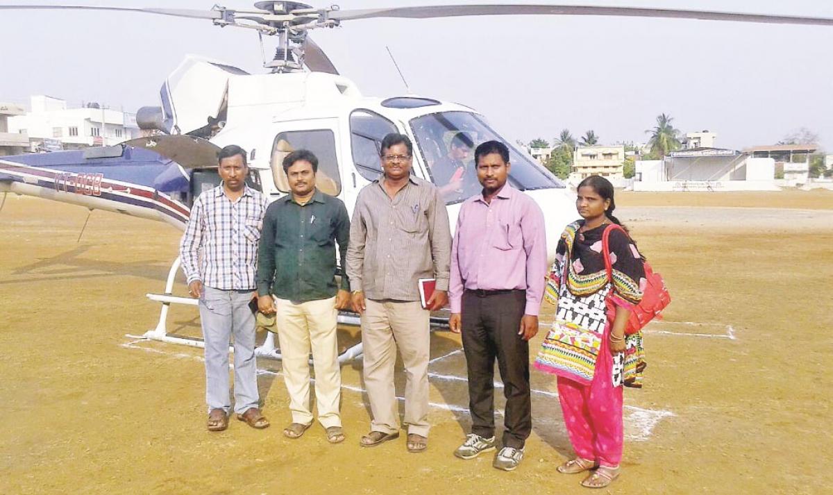
A team of officials, consisting of Bengaluru-based Geokno, the industry expert in LiDAR technology, Irrigation and WAPCOS, who landed in Bhadrachalam on Sunday by special helicopter, got down to their work on Monday. The survey will continue for at least 10 days, sources said.

It may be mentioned here that the State government had already approved the project that draws 50 TMC Ft from Godavari to cater to the irrigation needs of at least 5 lakh acres in Khammam district. The survey is envisaged to collect information pertaining to water flow from originating point, Dummugudem, to Rollapadu and other areas, in all covering 480 kms.

With the State government already sanctioning Rs 1,152 crore in the 2016-17 budget, the sources in the irrigation department say that project works may get underway in May. They added that however, a blue print of the prestigious project is ready; the government has undertaken the ongoing LiDAR survey to ensure a fool-proof plan.

As per the plan, firstly the water is supplied from Dummugudem to Kinnerasani using gravity and from there to Anisettipalli through lift. A pipeline will be laid from Anisettipalli to Rollapadu where a reservoir with a capacity of 14.5 TMC feet is constructed. Again by virtue of gravity, the water will be supplied to Bayyaram and to Palair Balancing Reservoir.

Apart from this, by constructing a lift at Jaggaram, the water will be supplied from Rollapadu to Indira Sagar canal at Arlapenta. The irrigation facility will also be extended to Sathupalli by constructing a canal from Chaparalapalli under Mulakalapalli mandal. The plan also includes providing irrigation facility to farming sector in Kothagudem, Julurupadu and Chandrugonda mandals.

Irrigation EE N Krishnakumar, DEE Satyanand Sharma, assistant engineers Raheem and Urmila have accompanied the LiDAR team to assist in the survey.

Show Full Article
Print Article
Next Story
More Stories
ADVERTISEMENT
ADVERTISEMENTS