Southwest monsoon turns weak

Southwest monsoon turns weak
x
Highlights

The Met department bulletin said on Wednesday that yesterday’s low pressure area over the north coastal Odisha and its neighbourhood was now lying over north Chhattisgarh and its neighbourhood. The associated upper air cyclonic circulation extends up to 7.6 km above the mean sea level. The trough from Chhattisgarh to south Tamil Nadu across Telangana and Rayalaseema is persisting.

Hyderabad: The Met department bulletin said on Wednesday that yesterday’s low pressure area over the north coastal Odisha and its neighbourhood was now lying over north Chhattisgarh and its neighbourhood. The associated upper air cyclonic circulation extends up to 7.6 km above the mean sea level. The trough from Chhattisgarh to south Tamil Nadu across Telangana and Rayalaseema is persisting.

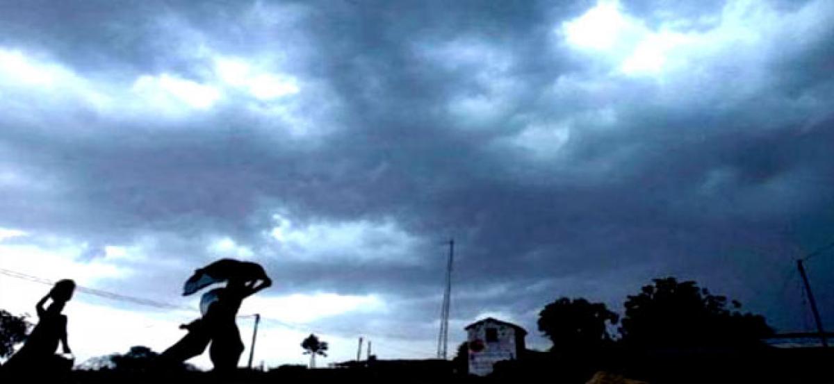
According to the bulletin, during the last 24 hours, the southwest monsoon was weak over Telangana. Isolated rain occurred in the State. There was one cm of rain in Sirpur of Adilabad district.

The forecast said light to moderate rain/thundershowers are likely to occur at a few/many places over Telangana from September 21 to 24. No large change during the next three days is the weather outlook.

Show Full Article
Print Article
Next Story
More Stories
ADVERTISEMENT
ADVERTISEMENTS