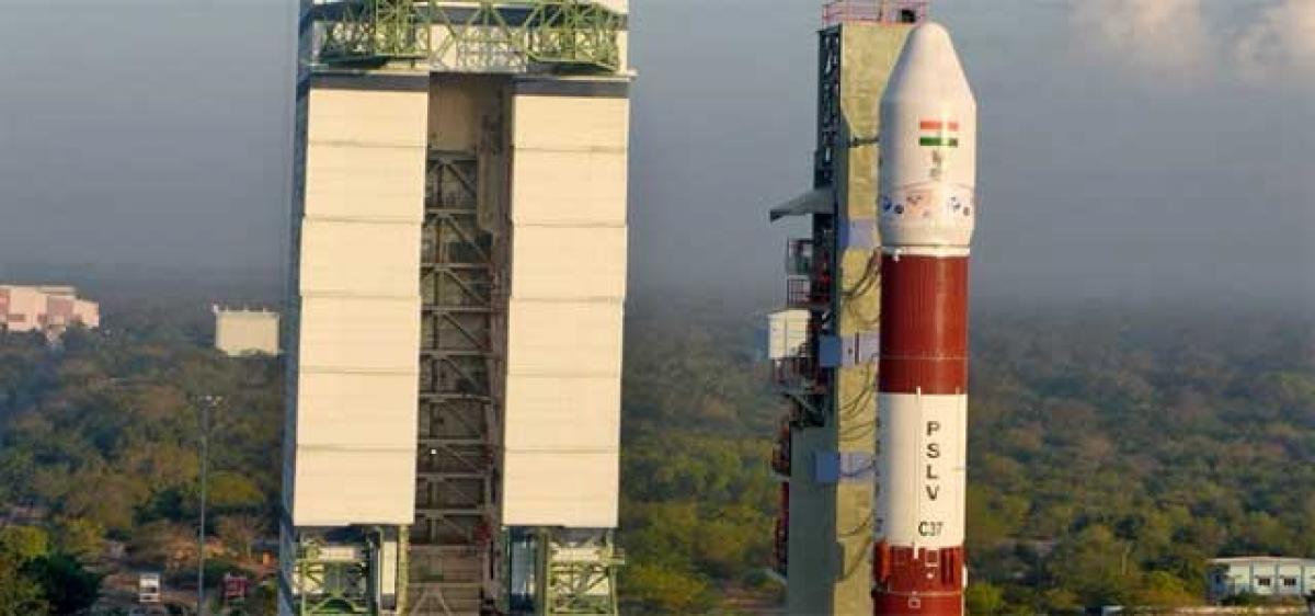
ISRO to put record 104 satellites in orbit today

ISRO to put record 104 satellites in orbit today
x
Highlights

The Indian Space Research Organisation (ISRO) has begun the countdown for the historic launch of record 104 satellites from the Satish Dhawan Space Centre in Sriharikota on Wednesday. 

Nellore: The Indian Space Research Organisation (ISRO) has begun the countdown for the historic launch of record 104 satellites from the Satish Dhawan Space Centre in Sriharikota on Wednesday.

The satellites, to be launched at 9.28 am, will be the highest number to be launched in a single mission. While the ISRO’s current record stands at 20 satellites in 2016, Russia achieved global distinction in this regard by launching 37 in 2014. Of the 104 spacecraft, three are Indian satellites of the Cartosat-2 series.

The others are nanosatellites from Israel, Kazakhstan, Netherlands, Switzerland and the USA.The satellites will be injected into the 505-km Polar Sun Synchronous Orbit.

The team of scientists under direct supervision of SHAR director and Lab Chairman P Kunhi Krishnan inspected all the satellites and others attachments once again and the vehicle has been shifted to the launch pad.

Further, Dr K Sivan, chairman of project management council, announced at Sullurpet the launching activity would take place as planned.

The ISRO’s commercial launching operations have become increasingly popular because it is able to do so at much lower costs than other countries.

The agency, which enters into agreements with foreign players through commercial arm Antrix Corporation Limited, has been carrying out such launches since 1999.

For this mission, the agency hopes to recover about half of its total cost through payments from foreign customers.

“We want to make optimum use of our capacity. We initially wanted to launch three of our satellites, of which one weighs 730 kg and the other two 19 kg each.

As there was additional space for 600 kg, we decided to accommodate the 101 nanosatellites,” said ISRO chairman AS Kiran Kumar.

Cartosat-2 series satellites – equipped with panchromatic and multispectral image sensors – are earth observation spacecraft that provide remote sensing services.

Data captured by these satellites can be used to monitor road networks, map land use and effect proper water distribution.

Show Full Article
Print Article
Next Story
More Stories
ADVERTISEMENT
ADVERTISEMENTS