Live
- Royaloak Furniture Announces Exciting Year-End Sale providing up to 70% off on all International Furniture & décor products
- Pakistani Girl Murdered in UK: Father and Stepmother Convicted in Sara Sharif Case
- Maha Kumbh Mela: Understanding Its Unique Significance
- YouTube Introduces Real-Time Multiplayer Gaming with Playables
- AUS W vs IND W 3rd ODI: Smriti Mandhana Makes History with Stunning Century in Perth
- CM Revanth Reddy Congratulates Telangana Candidates Advancing to UPSC Interviews
- Collector Inspires Students to Excel Through Discipline, Hard Work, and Smart Work
- District Collector Directs Officials to Expedite Paddy Procurement Process
- SP T. Srinivas Rao Inaugurates State-of-the-Art Volleyball Court for Police Personnel in Jogulamba Gadwal
- Geeta Jayanti Celebrations Organized at Maldakal Thimmappa Swamy Temple
Just In
25 districts in Telangana receive 30% excess rainfall till April 30


25 districts in Telangana receive 30% excess rainfall till April 30
The Groundwater department has monitored water levels during April 2022 through 1,296 Piezometers (monitoring stations) covering all mandals across 33 districts of the State.
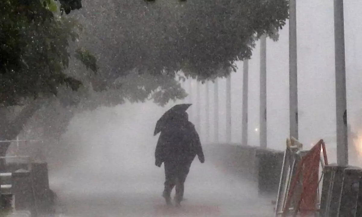
Hyderabad: The Groundwater department has monitored water levels during April 2022 through 1,296 Piezometers (monitoring stations) covering all mandals across 33 districts of the State. During the water year 2021-22 (up to April 30, 2022), the State received rainfall of 1,145 mm, as against 878 mm of normal rainfall; it ranges from 580 mm (Jogulamba (Gadwal dist) to 1,534 mm (Sircilla dist); thus there is a 30% excess rainfall during this period, as compared to normal annual rainfall.
Twenty-five districts, Hyderabad, Medak, Wanaparthy, Bhupalpally, Vikarabad, Bhadradri, Medchal, Adilabad, Kumurambheem, Kamareddy, Yadadri, Nalgonda, Mahbubabad, Jagityal, Nirmal, Mahbubnagar, Ranga Reddy, Jangaon, Warangal, Nizamabad, Narayanpet, Karimnagar, Hanamkonda, Siddipet and Sircilla received excess rainfall (20% to 71%). Remaining eight districts received normal rainfall (-1% to 19%).
The average groundwater levels in the State during April-2022 is 8.73 meters below ground level (mbgl).It varies from 4.83 m bgl (Wanaparthy) to 15.36 m bgl (Medak). Of 33 districts in one the average water level is 5 mbgl, in 25 districts it is between 5-10 mbgl, in eight districts between 10-15 mbgl and remaining one district it is 15 mbgl. A net average rise of 0.46 m in groundwater levels is observed during April 2022 as compared to May 2021.The rise is observed in 22 districts (0.05 m Mahbubabad to 2.90 m in Bhupalapally) fall in remaining 11 district (0.01 in Karimnagar and Khammam to 1.21 in Medchal).
A net average rise of 0.29 m in groundwater level is observed during April 2022 as compared to April 2021. Of 33 district rise is observed in 19 districts (0.06 in Bhadradri district to 3.97 m in Bhupalapally district) and fall in remaining 14 district (0.03 in Warangal to 1.90 in Medchal).
Shallow water levels (<5 m bgl) occupies 14 % of State area, covering eastern parts of Adilabad, south and eastern part of Nirmal, eastern parts of Hanamkonda, north-eastern and central parts of Jagityal, except central and north western parts of Wanaparthy, central and northern parts of Warangal, eastern part of Karimnagar, central parts of Mahbubabad, except west, north-east & southern parts Khammam, except south, north and central parts of Suryapet, parts of K Asifabad, western part and eastern parts of Mancherial, west and north-western parts of Peddapally, parts of Mulugu, parts of Bhupalapally, central parts of Bhadradri, except central and western part of Nalgonda, western part of Kamareddy, western, north and southern parts of Jogulamba, eastern and western parts of Narayanpet, parts of Vikarabad and parts of Yadadri. Water levels in the range of 5- 10 mbgl occupy 54 % followed by 10-15 mbgl water levels, covering 24 % of State area during this month.
Moderately deep (15-20 mbgl) and very deep-water levels (20 mbgl) occupy 7 % of State area combined. These are mostly covering south eastern Bhadradri, eastern Sangareddy, northern part of Vikarabad, north western and south eastern part of Nizamabad, northern Bhupalapally, southern parts of Nalgonda and southern, central part of Nirmal and north western part of Siddipet districts.
Water levels during April 2022 month when compared with decadal average of April (2012-2021) levels, it is observed that of 594 mandals, rise in the range of 0-27.42 m is observed in 548 (92 %) mandals and fall in the range 0.02-8.43 m in 46 (8%) mandals. The rise (compared to decadal average of April (2012-2021) up to 0.5 m is observed in 30 mandals, 0.5-1.0 m in 32 mandals, 1-2 m in 76 mandals and 2 m in 410 mandals falling in north, south and western part of Nirmal, except north and southern parts of Sircilla, southern parts of Jagitial, central parts of Warangal, Hanamkonda Karimnagar, Siddipet, Suryapet, Medak, Jangoan, Yadadri, Hyderabad, Mahbubnagar, south part of Bhupalpally, Bhadradri, Ranga Reddy, northern part of Medchal, Khammam, central part of Jogulamba, Vikarabad, Nagarkurnool, Narayanpet, Nalgonda and Wanaparthy districts.
The fall (compared to decadal average of April (2012-2021)) up to 0.5 m is observed in 17 mandals, 0.5-1 m in eight mandals, 1-2 m in 11 mandals and 2 m in 10 mandals falling in eastern part of Mancherial, Khammam, east and western part of Nizamabad, western parts of Kamareddy and southern part of Medchal district. During April 2022 as compared to March 2022, deep-water level (20m) area increased by 742 km2. As compared to the decadal average water levels April (2012-2021) deep water levels (20 m) area decreased from 8,275 km2 to 1,497 km2 in April 2022 (i.e., by 82 %).

© 2024 Hyderabad Media House Limited/The Hans India. All rights reserved. Powered by hocalwire.com


