People Discovered Chile's Coast, That Existed About 300 Years Ago Which Was Struck By Tsunami

People Discovered  Chiles Coast, That Existed About 300 Years Ago Which Was Struck By Tsunami
x

People Discovered Chile's Coast, That Existed About 300 Years Ago Which Was Struck By Tsunami

Highlights

  • The aftermath of a long, high wall of water that slammed land in 1737 has recently been exposed by geological studies in Chaihun's tidal marshes. Written papers from the time, on the other hand, do not mention such a wave.
  • The findings are based on sediment layers discovered in a tidal marsh near Valdivia, a historic city on Chile's south coast that was devastated by a major earthquake of magnitude 9.5 in 1960.

Chile's south-central coast could also be more susceptible to tsunamis than previous records suggest. The aftermath of a long, high wall of water that slammed land in 1737 has recently been exposed by geological studies in Chaihun's tidal marshes. Written papers from the time, on the other hand, do not mention such a wave.

Emma Hocking from Northumbria University in the United Kingdom said that this is an issue since it implies that our future tsunami forecasts are based on a mistake. Earthquakes with the potential to cause tsunamis may occur as frequently as once every 130 years, rather than once every 280 years.

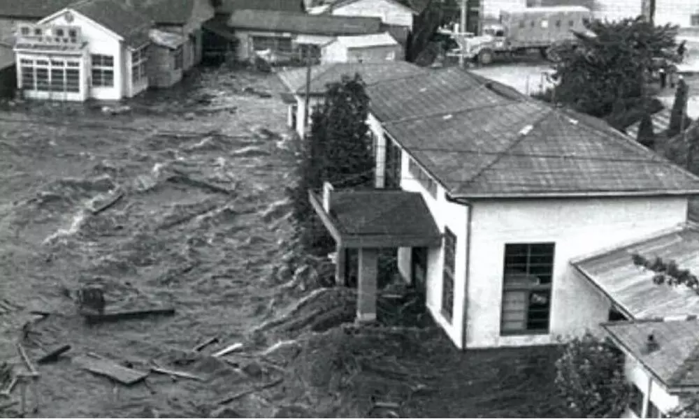
The findings are based on sediment layers discovered in a tidal marsh near Valdivia, a historic city on Chile's south coast that was devastated by a major earthquake of magnitude 9.5 in 1960. This historic occurrence resulted in a fatal tsunami that struck the Chilean coast at a height of roughly 25 meters, as well as the shores of Japan, the Philippines, New Zealand, and Hawaii.

The written records indicate that tsunamis followed earthquakes in Valdivia in 1837 and 1575, although the earthquake in 1737 lacked a comparable wave for whatever reason.

Researchers have extensively proposed that the 1737 earthquake was triggered by a deep breach between two tectonic plates beneath the land, rather than under the sea, as the origin of the missing tsunami. Scientists found signs of tsunami flooding on land in the silt and single-celled algae found in 'Chaihuin.'

The intensity of the earthquake that triggered this tsunami is most likely less than 20 kilometers (12 miles). After all, a shallower earthquake off the coast is more likely to result in a tsunami. The scientists discovered three unique sand sheet layers at Chaihun, deposited by locally caused tsunamis.

The deposits in layer A correspond to the 1960 earthquake and tsunami, but the sands in layers B and C represent tsunamis resulting from the 1737 and 1575 earthquakes, respectively. Numerous earthquakes occurred at the time that layer B was deposited, but the 1737 earthquake was the closest to the salt marsh. Another geological investigation along the coast has turned up no matching deposits, implying that the tsunami from the 1737 earthquake affected a smaller area than the tsunami of 1960. As a result, the same fault lines appear to be capable of creating slightly different natural disasters over time, which is something we must be cautious of in the future.

Meanwhile, the consequence came as scientists are cautioning against relying on previous records to forecast future earthquakes and tsunamis. We need to compare historical records to direct geological facts to get a clearer picture of what might happen in the future and when. Because the new discoveries are limited to a single portion of the Chilean coast, around 20 kilometers south of Valdivia, more research in other neighboring regions will be required to fully comprehend the magnitude and timing of the 1737 tsunami.

Show Full Article
Print Article
Next Story
More Stories
ADVERTISEMENT
ADVERTISEMENTS