Live
- Mandapeta: Pawan promises allocation of funds for gram panchayats
- Mind your language, EC warns KCR
- Rattled over quota, BJP is after me: Revanth
- Hindu marriage not valid unless performed with requisite ceremonies
- Guntur: Narendra Modi to campaign in AP on May 6 & 8
- Free Hyd from Razakar ideology: Amit Shah
- Chirala: Land Titling Act will be abolished by us says Chandrababu Naidu
- MyVoice: Views of our readers 2nd May 2024
- Health sector hit by misplaced priorities
- When To Play And When To Quit
Just In

Brings Street View to India with data from local partners
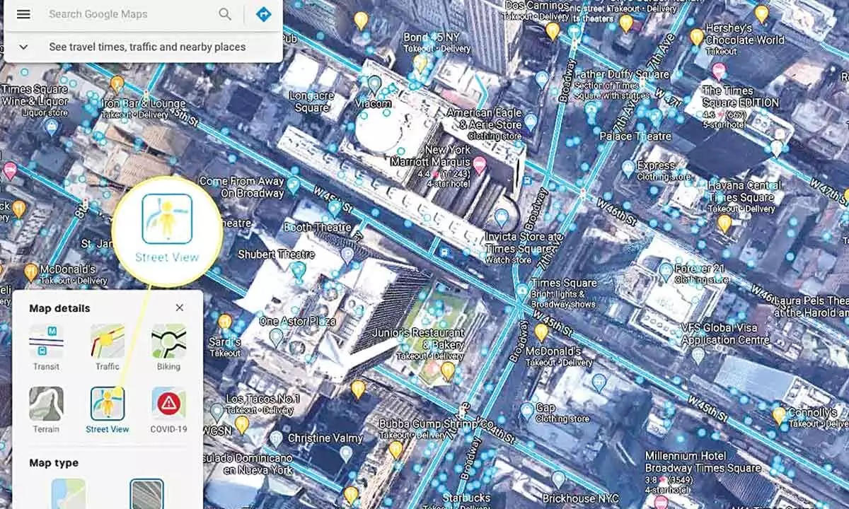
New Delhi: A decade after it was prevented from capturing data for its Street View services, Google has launched its 360-degree interactive panorama feature for 10 Indian cities with data from local partners Tech Mahindra and Mumbai-based Genesis International.
This has been made possible by the new National Geospatial Policy, 2021, which lets local companies collect this kind of data and license it to others, making it also the first country where Street View has been enabled primarily by partners. Called Project Gullify, Street View will initially launch for 10 Indian cities, including Hyderabad and be rolled out to 50 by the end of the year, mapping over 7,00,000 km in two years.
Google Maps Experiences official Miriam Karthika Daniel said the partners have "fundamental geospatial technologies and experience, as well as logistics experience" and the "ability to scale across a lot of areas simultaneously".
She explained that the launch has been made possible by the clarity the new Geospatial Policy brought in.
"First of all, it requires that local entities be the ones that collect all the data. So the partners are the ones that are collecting and owning the data. They have to collect it at a certain level of fidelity depending on the type of camera. Even the camera configurations are done by our partners," she said. The policy, Daniel added, even cites areas where data can be collected data and those where they can't like government, defence and military areas. "So, our partners know exactly where they can go and collect (data), which is a majority of India."
After Google paused its Street View efforts in India, following objections raised by the Bengaluru police in 2011, Indian players like Wonobo and later MapMyIndia started offering their own versions of interactive panorama maps. But Street View, given its integration with Google Maps, is expected to have much more impact, helping users with a better understanding of road conditions and discovery of local businesses.
Google has also announced the launch of speed limit data in maps for Bengaluru and Chandigarh, as well as road congestion data in nine cities. It is also working on the environmental insights explorer tool to measure emissions based on traffic patterns, giving planners a better idea of how to reduce emissions in cities. It will also start showing localised street-level Air Quality Index (AQI) numbers in a few cities. Street View will also help improve Google Maps as it will be able to parse data on road conditions etc which is often not clear in satellite imagery.
"We are able to apply our technologies that have been in development for more than a decade and use AI and ML to parse the data like on information about road conditions and addresses and put it back on the map for users," explained Daniel.

© 2024 Hyderabad Media House Limited/The Hans India. All rights reserved. Powered by hocalwire.com


