






- Hyderabad: Road widening is no boon but a bane?
- Water tankers draining Goshamahal’s groundwater
- TG-RERA cracks down on slew of rogue developers across Hyderabad
- TPCC chief calls for grand success of Samvidhan Raksha March
- Power boost :Yadadri’s 800 MW 5th unit to be on stream in Dec
- Green SM entry sparks fare war
- 400 citizens urge Revanth to defer Global Summit amid El Nino
- Healthcare Pricing Summit 2026 organised
Mapping tomorrow: How GIS is shaping future careers
In Short
As its applications expand across industries, developing GIS skills is becoming increasingly relevant for students preparing for future careers.

Share :
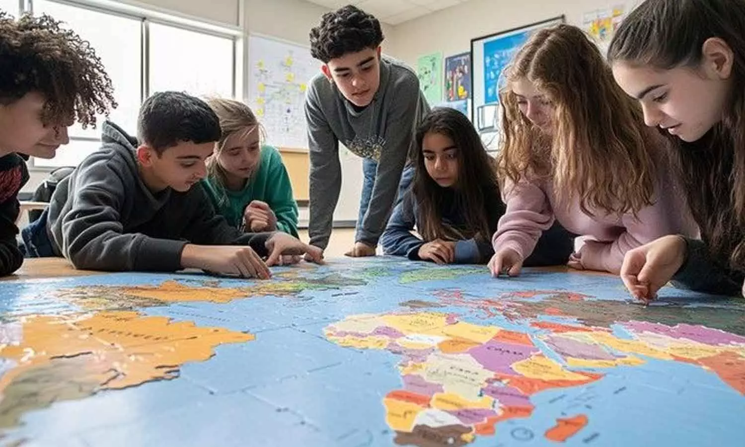
Geographic Information Systems are increasingly shaping how the world understands and responds to real-life challenges.
Geographic Information Systems (GIS) are increasingly shaping how the world understands and responds to real-life challenges. From planning smarter cities and monitoring climate change to improving healthcare delivery and managing natural resources, GIS technology is helping organisations make informed decisions using location-based data. As its applications expand across industries, developing GIS skills is becoming increasingly relevant for students preparing for future careers. GIS combines geography, data analysis, mapping and technology to collect, manage, analyse and visualise spatial information. Students who learn these skills gain the ability to interpret maps, identify patterns, understand geographical relationships and draw insights from complex datasets. These competencies are valuable not only in geography but also in science, mathematics, environmental studies and social sciences.
The importance of GIS extends well beyond traditional geographical careers. Urban planners use it to design infrastructure and manage traffic, while environmental scientists rely on geospatial data to track deforestation, pollution and changing ecosystems. In healthcare, GIS can help map disease patterns and identify areas with limited access to medical facilities. Agriculture, disaster management, logistics, telecommunications and public administration are other sectors where geospatial technology plays an important role.
For students, early exposure to GIS can encourage analytical thinking, problem-solving and digital literacy. Schools and colleges can introduce the technology through practical projects, such as mapping local water resources, studying neighbourhood development or identifying areas vulnerable to flooding. Such activities help learners connect classroom concepts with challenges in their communities. As technologies such as artificial intelligence, satellite imaging, drones and big data increasingly intersect with GIS, the demand for people who can understand and interpret spatial information is likely to grow. Learning GIS is therefore not just about creating maps; it is about developing the ability to understand the world through data and contribute to better-informed decisions.
1 cr families will get Rs 5 Lakh insurance: CM Revanth
CM Revanth seeks Chhattisgarh nod for Sammakka Sagar
Government officials more corrupt than politicians: Congress MLA Anirudh
‘No Mention Of State In Memoir’: No place for Telangana in Sonia's heart, says KTR
Health alert: Fake silver waraq units busted in hyderabad
NTG refuses to stay Musi Riverfront project; seeks state govt’s response


