




- LoP Jai Ram Thakur slams Himachal govt for embarrassment in court cases
- Jal Shakti Minister calls for making cleanliness a part of collective responsibility
- Bihar CM sets March 2027 deadline for Chakai ethanol plant
- Seamless Travel with Common Pass in Matro Rail and RTC bus
- Mamata Banerjee had no fracture in leg during 2021 Bengal poll campaign in Nandigram: Suvendu Adhikari
- 'Joyous occasion for the nation': PM Modi praises Men's cricket team for gold medal
- Delhi CM Rekha Gupta inspects Okhla landfill, says 'garbage mountain is going'
- 'Have roadmap in place to deal with drugs issue': New Punjab Cong chief Pargat Singh
Bengaluru Techi Uses Car’s Dashcam as AI Tool and Raises Pothole Compliant
In Short
Discover how a Bengaluru engineer used a dashcam, GPS, and AI to automatically detect potholes, map exact locations, and identify responsible contractors in seconds.

Share :
Bengaluru Techi Uses Car’s Dashcam as AI Tool and Raises Pothole Compliant
An Bengaluru Engineer has used a car dashcam, GPS, and AI to tackle a problem which has become part of everyday driving in the city, potholes. His system not only helps detect damaged roads but it also helps in recording their exact location and preparing a complaint in seconds, while trying to identify who is responsible for fixing them.
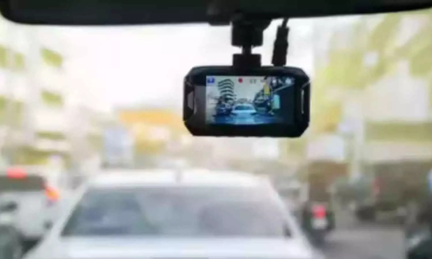
He fitted his car with a dashcam, GPS and an accelerometer. The setup helps record the road as he drives, along with the location and movement data which can help in identifying where the pothole was encountered. He then used Codex to build an app, which processes the information and sends it to AI vision models.
The result is a system which helps scan the recorded footage, spot holes, and classify them by size, including small, medium, and large defects.
Sen has shared the project on Instagram on 5th August, describing it as his way of reporting potholes to the brihanmumbai Mumbai Municipal Corporation or BBMP. He also pointed to the wider danger posed by damaged roads, saying more than 2000 Indians die each year in accidents described.
The app does more than spot a pothole: Detecting a pothole is only the first step. A photograph of damage may show the problem, but a complaint still need details.
Sen’s system attempts to solve this part too. The app then searches around 2900 government road contracts to connect a detected pothole having the relevant road project. It can identify the tender number, the contractor associated with the work, and the government office responsible for the road.
Bengaluru Techi Uses Car’s Dashcam as AI Tool and Raises Pothole Compliant
Delhi L-G TS Sandhu discusses women safety issues with AIIMS students
IFA Shield: Punjab FC set for semis clash with Mohun Bagan Super Giant
Regulatory frameworks need to evolve with rapidly changing environment: NITI Aayog’s Rajiv Gauba
Regulatory frameworks need to evolve with rapidly changing environment: NITI Aayog’s Rajiv Gauba
'Gaurav Gogoi, Rahul Gandhi talk about sending me to jail whenever elections come': Himanta Biswa Sarma
Bhupender Yadav hails PM Modi’s vision for Great Indian Bustard conservation programme
Telangana CM Revanth Reddy calls for regular reviews on education and health depts
26 lakh women trained, 20 lakh become Lakhpati Didis: Rajasthan CM
HM Shah sets 50-crore-litre milk production target for Madhya Pradesh in next 3 years


