






- Jagan accuses Naidu of ‘credit chori’ on social development
- US floats Donbas for NATO deal
- ‘Break India vector’: BJP attacks Congress over Bharat Summit
- Gujarat Dy CM reviews law and order, calls for stepped-up action against drugs
- Manipur security operations to be intensified to nab culprits behind violence, CM chairs high-level review meet
- ‘PM doesn’t do it’: Sam Pitroda on Rahul Gandhi’s phone tap claim
- Trinamool MP Abhishek Banerjee appears before Kolkata Police for questioning over CEC post
- Thanjavur farmers carry water in pots to save withering Samba crops
Cyclone ‘Akvan’ likely to hit AP coast on Nov 18
In Short
- System likely to intensify into a severe cyclonic storm by Wednesday, with winds reaching 120 kmph over the sea
- Heavy to extremely heavy rainfall forecast for Nov 18 and 19
- Exact landfall location yet to be identified; IMD issues orange alert

Share :
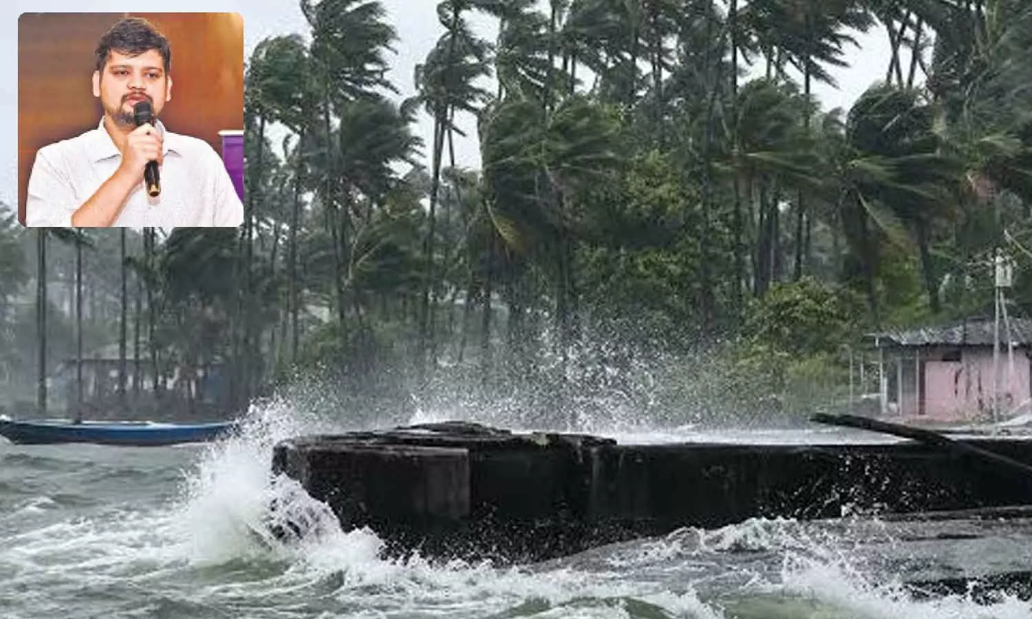
Cyclone ‘Akvan’ likely to hit AP coast on Nov 18
Amaravati: Andhra Pradesh is bracing for yet another cyclone as a weather system developing over the Bay of Bengal is expected to intensify into a severe cyclonic storm and move towards the north Andhra coast by November 19. The approaching system, named ‘Akvan’, is likely to bring heavy to extremely heavy rainfall to several coastal districts on November 18 and 19.
The coastal region is yet to fully recover from the devastation caused by two successive cyclones; therefore, the impending severe cyclonic storm has put the administration on hyper alert.
Managing director of the State Disaster Management Authority Prakhar Jain said a well-marked low-pressure area over the south-eastern Bay of Bengal was moving in a north-northwesterly direction. It is likely to intensify into a depression by Sunday morning, a deep depression by Monday morning and a cyclonic storm by Monday evening.
The system is subsequently expected to strengthen into a severe cyclonic storm over the central and adjoining west-central Bay of Bengal by Wednesday.
Wind speeds over the sea are likely to reach around 120 kmph as the system intensifies. Winds of 40–50 kmph, gusting up to 60 kmph, are expected from November 16. Fishermen who have ventured into the sea have been advised to return to the coast by the evening of November 15. They have been advised to avoid fishing activity thereafter until the storm passes and weather returns to normal.
Jain said the exact landfall location was yet to be established, as the system was following an “unusual track”, according to current IMD model projections. The India Meteorological Department and the Cyclone Warning Centre in Visakhapatnam are continuously monitoring its movement and intensity. A clearer assessment of the likely landfall location is expected over the next 24 hours.
The districts likely to receive heavy rainfall include Parvathipuram Manyam, Alluri Sitarama Raju, Kakinada, Dr BR Ambedkar Konaseema, East Godavari, West Godavari and Eluru, besides Yanam. The entire north Andhra coastal belt is likely to experience heavy to very heavy rainfall, with isolated areas potentially receiving extremely heavy rainfall as the system approaches the coast.
The IMD has issued an orange alert for the vulnerable regions. The State Disaster Management Authority has advised people in coastal districts to remain vigilant and follow official weather bulletins and precautionary instructions.
Authorities are closely tracking the cyclone's trajectory and will issue further alerts as its intensity and likely landfall become clearer.
AP sets up special panels to combat human trafficking
AP Municipal Polls: Nominations open for 25 ULBs amid tight security
Cyclone ‘Akvan’ likely to hit AP coast on Nov 18
Special Security Scheme launched for gig workers
India no longer a democracy: Rahul Gandhi
Political change certain in India under Rahul’s leadership: CM Revanth Reddy


