




Land survey numbers will continue for 20 yrs: CCLA
In Short
The resurvey in the remaining villages under the first phase is progressing at a fast pace and will be completed soon.

Share :
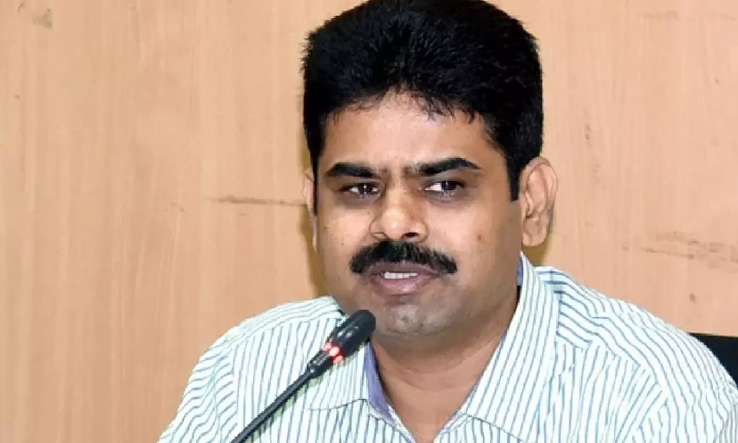
DS Lokesh Kumar
Hyderabad: The Telangana Revenue Department will continue the existing land survey numbers for another 15 to 20 years until pending court cases, mortgage issues, family disputes and bank loans secured against agricultural lands are fully resolved.
Speaking to The Hans India at his chambers in the Secretariat on Saturday, Revenue Secretary and Chief Commissioner of Land Administration (CCLA) DS Lokesh Kumar said the department would introduce Land Parcel Map (LPM) numbers for every land parcel while continuing the existing survey numbers in correlation with the new identification system.
He said all farmers would also be issued Bhudhar numbers, which would be generated at the national level, providing a standardised identification system for land parcels. Lokesh Kumar said the first phase of the statewide resurvey had been completed in 400 out of 2,240 villages. The resurvey in the remaining villages under the first phase is progressing at a fast pace and will be completed soon.
He expressed confidence that the entire resurvey process would be completed across the state within one-and-a-half years. It may be recalled that the Revenue Department is conducting the resurvey in 70 villages in each district, excluding Hyderabad, as part of the first phase. Clarifying the position of farmers in villages where the resurvey had already been completed, he said they were permitted to sell their lands even if they had not yet received their new passbooks. Explaining the procedure, the CCLA said the Revenue Department was conducting the resurvey in a systematic manner, beginning with village boundaries (gramakantam), government lands including poramboku, banjaru lands etc, irrigation lands, endowment properties, schools, colleges and graveyards. The survey of individual agricultural lands belonging to farmers would be taken up subsequently. He said the department was prioritising public and government lands before moving on to private agricultural properties to ensure proper identification and documentation of all categories of land.
Lokesh Kumar also clarified that farmers seeking individual land surveys would have to wait until the government took up the resurvey in their respective villages, as surveyors were currently engaged in the ongoing statewide exercise. The continuation of existing survey numbers alongside the proposed LPM and Bhudhar identification systems is intended to avoid complications in land records and other disputes, he added.
NDA sweeps AP Parishad polls
CM Naidu extends Diwali greetings to people
CII Partnership Summit in Vizag to boost global biz, tech ties: CM Naidu
Govt to develop Vanvasi Ram Lok, Ram Raja Lok: MP CM
TN BJP chief Nagenthran extends Deepavali greetings, warns against forces seeking to destabilise India
From ‘one district, one mafia’ to ‘one district, one product’: Nitin Nabin’s jibe at Akhilesh Yadav over Azam Khan


