




- Foundation stone laid for new facilities at Nimmakuru APRS
- Handri-Neeva water released to 77 tanks in Dhone and Pathikonda
- 139 ‘Outstanding’ teachers honoured in on Teachers’ Day
- Foreign involvement in the CJP-led student protests is seriously worrisome
- Kshaya Masa and its profound relevance
- Shifting spaces of inequalities in the education lifecycle
- Why Indian parents are moving from “cute” to “conscious” when buying babywear
- Swetha Prasanna: Carrying the Kuchipudi legacy forward
Africa bigger, North America, Europe smaller
In Short
India among 164 countries backed resolution, while US opposed the move

Share :
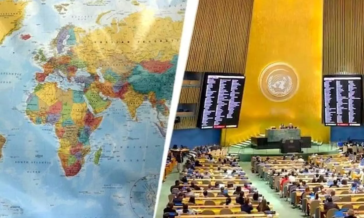
Africa bigger, North America, Europe smaller
New York: In a historic move, the UN General Assembly on Friday voted to replace the familiar Mercator world map with a projection that more accurately reflects the relative size of continents, making Africa appear substantially larger and Europe and North America smaller.
The resolution, led by Togo and backed by the African Union, passed 164-1, while six countries abstained. The US was the only country to vote against it. India supported the Equal Earth resolution, replacing the Mercator world map. Washington sharply criticised the initiative, saying the UN should focus on genuine global challenges rather than a map dating to the 16th century. US representative Yaryna Ferencevych said such debates were “the reason this institution is losing its credibility”. He alleged that the resolution was promoting an “ideological agenda” involving reparations and “cognitive justice”.
The African Union welcomed the vote as a “historic step” towards accurate and equitable global cartographic representation. The resolution promotes the Equal Earth projection, developed by cartographers in 2018, and encourages governments and institutions to use it where accurately comparing the size of countries and continents is important. The resolution is not legally binding and does not ban the Mercator projection or force countries, schools or technology companies to adopt a new map. Instead, it encourages the wider use of the Equal Earth projection for education, public communication and other purposes where accurately comparing the size of countries and continents matters.
What is the Mercator map?
The Mercator projection was developed by Flemish cartographer Gerardus Mercator in 1569.
It was designed primarily for maritime navigation, preserving directions and angles, so sailors could plot courses accurately.
But converting the curved surface of Earth into a flat map inevitably causes distortion. The Mercator projection increasingly enlarges land masses as they move away from the equator towards the poles. This makes northern regions appear much larger than they are, while areas closer to the equator, including much of Africa, appear relatively smaller.
The clearest example is Greenland and Africa. On many Mercator maps, Greenland appears roughly comparable in size to Africa. In reality, Africa is about 14 times larger than Greenland. The projection also gives Europe, North America and Russia greater visual prominence relative to Africa, South America and parts of Asia. The Mercator map is not geographically “wrong” – its distortion stems from its original navigational purpose. The criticism is about its widespread use in classrooms, offices and public communication, where people may assume it accurately represents the relative size of continents.
How is Equal Earth different?
Equal Earth is an equal-area projection, meaning countries and continents are shown in proportion to their actual surface areas while retaining recognisable shapes.
Africa therefore appears considerably larger, while Europe and North America appear smaller than on a Mercator map. Latin America, South Asia and Oceania also gain visual size in relative terms.
The projection was created in 2018 by a group of cartographers. Supporters say it offers a more accurate visual understanding of the world while avoiding the extreme size distortions associated with Mercator.
The campaign was led by Togo with support from the Africa Group. The African Union Assembly endorsed the “Correct the Map” campaign in February before the initiative was taken to the UN.
The African Union welcomed the UN vote as a “historic step” towards more accurate and equitable global cartographic representation. “For centuries, the Mercator projection distorted global geography, shrinking Africa to the size of Greenland when our continent is actually 14 times larger,” the African Union said. Togo’s Foreign Minister Robert Dussey argued that maps influence education and collective perceptions. “A fair world begins with a fair map,” he said.
Is the UN decision binding?
No. The UN General Assembly resolution is not legally binding and does not ban the Mercator projection or compel countries, schools, publishers or technology companies to replace it. It instead encourages wider adoption of Equal Earth and other equal-area projections for education, public communication and other uses where comparing the actual size of land masses matters. The resolution also does not seek to eliminate Mercator from maritime or aerial navigation, where its ability to preserve direction remains useful.
PM Modi interacts with National Teachers' Award winners; discusses innovative teaching, student confidence
Attend Assembly or quit
CM Revanth Reddy attacks Centre on mass deletion of votes
Bonanza for AP govt staff: CM Naidu clears 12th PRC, 2 pending DAs for employees
Naidu for overhauling edn to make students future-ready
AP to reconstitute 28 Zilla Praja Parishads


