




- Google Genie 4 Turns Text Into Interactive Worlds
- Rajnath Singh and Hegseth hail India-US Major Defence Partnership, reiterate joint resolve to eliminate terrorism
- Heavy rain warning for south Bengal as cyclone Arnab disrupts air travel, several flights cancelled
- Jharkhand: Two former Naxal commanders tie knot at Hazaribagh jail
- Kochi Police Commissioner Transferred After Lapses In Fatal Mercedes Crash Involving Judge’s Minor Son
- KIIFB row rocks Kerala Assembly, CM Satheesan attacks former Left govt
- Instagram Takes Aim at YouTube With 90-Minute Features
- Nayanthara Pens An Emotional Note Ahead Of Mookuthi Amman 2 Release
IMD Warns of Flash Flood Risk in 13 AP Districts
In Short
IMD warns of flash flood risks in 13 Andhra Pradesh districts due to Cyclone Arnab, forecasting heavy rainfall, strong winds and possible inundation while authorities prepare relief and restoration measures.

Share :
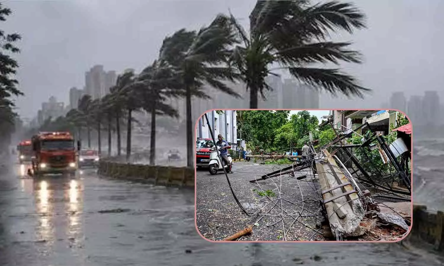
IMD Warns of Flash Flood Risk in 13 AP Districts
Andhra Pradesh faces possible flash flood risk in 13 districts due to Cyclone Arnab, according to a warning issued by the IMD's Cyclone Warning Centre. This alert would be valid till 5.30 am on Thursday.
The districts which may get flash flood are Bapatla, Guntur, NTR, Krishna, Eluru, East Godavari, Kakinada, Alluri Sitarama Raju, Visakhapatnam, Vizianagaram, Anakapalli, Parvathipuram Manyam and West Godavari districts.
“Under the influence of the very severe cyclonic storm ‘Arnab’, moderate to heavy flash flood risk is likely over a few watersheds and neighbourhoods,” the centre said in its latest bulletin.
It warned that surface runoff and inundation could occur in areas with saturated soil and in low-lying areas identified as vulnerable.
The centre issued a storm surge warning for the North Andhra coast and a large part of the Odisha coast from 11.30 am on Wednesday until 5.30 am on Thursday. Gale-force winds were forecast to reach speeds of up to 120 kmph.
The India Meteorological Department forecast squally weather, with winds reaching 50 kmph and gusting to 60 kmph, along the Andhra Pradesh, Odisha and West Bengal coasts, as well as the northern Tamil Nadu coast, from 5.30 am on October 29 to 5.30 am on October 30.
Extremely heavy rainfall was recorded in Andhra Pradesh, while very heavy to extremely heavy rainfall was reported in Odisha in the 24 hours until 8.30 am on Wednesday.
In Andhra Pradesh, Garividi recorded 26 cm of rainfall, followed by Anakapalli, Srungavarapukota, Vepada and Cheepurupalle, which received 25 cm each.
Bheemunipatnam, Mentada and Yelamanchili recorded 24 cm each, followed by Gantyada and Ranasthalam with 23 cm each. Gajapathinagaram, Nellimerla, Visakhapatnam and Merakamudidam received 22 cm each, while Chodavaram and Bondapalle recorded 21 cm each.
The maximum sustained wind speed recorded in the 24 hours until 8.30 am on Wednesday was 96 kmph at Machilipatnam, followed by 80 kmph each at Visakhapatnam and Kakinada, 70 kmph at Kalingapatnam, 45 kmph at Bapatla and 32 kmph at Kavali, according to the centre.
The IMD said Cyclone Arnab had completed its landfall by 8 am on Wednesday, with the storm's central region moving entirely over land.
The system continued to move northwestwards and was centred over coastal Andhra Pradesh, Yanam and the adjoining west-central Bay of Bengal at 8.30 am.
It was located about 20 km east-northeast of Narasapuram, 40 km southwest of Yanam, 60 km southwest of Kakinada, 90 km east-northeast of Machilipatnam, 120 km east of Gannavaram and 120 km southwest of Tuni.
The IMD said the system was likely to move north-northwestwards over the next 48 hours and weaken gradually. It was expected to weaken into a cyclonic storm within six hours and further into a deep depression over the subsequent six hours.
The trough extending from the west-central Bay of Bengal near the Andhra Pradesh coast to the cyclonic circulation associated with Arnab, up to 3.1 km above mean sea level, had become less marked, the director of the Amaravati Meteorological Centre said.
The IMD forecast heavy rainfall and thunderstorms in parts of Andhra Pradesh over the seven days from Wednesday to November 3.
It forecast heavy to very heavy rainfall at a few places over coastal Andhra Pradesh and Yanam on Wednesday, accompanied by gale-force winds reaching 90 kmph. Extremely heavy rainfall was also likely at isolated places, along with thunderstorms and lightning over coastal Andhra Pradesh, Yanam and Rayalaseema.
For Thursday, October 29, the IMD forecast heavy rainfall at isolated places in coastal Andhra Pradesh and Yanam, along with thunderstorms and lightning over these areas and Rayalaseema.
From October 30 to November 3, thunderstorms accompanied by lightning were likely over coastal Andhra Pradesh and Yanam. Heavy rainfall was also forecast at isolated places in these areas on November 1, 2 and 3.
Strong winds reaching speeds of up to 50 kmph were forecast until November 1.
Chief Minister N Chandrababu Naidu followed up a letter to Union Home Minister Amit Shah with a phone call, detailing the damage caused by Cyclone Arnab, according to a press release.
“Naidu requests Union Home Minister Amit Shah to extend necessary assistance from the Central Government to support relief, rehabilitation and restoration efforts in the cyclone-affected areas,” the release said.
A flash flood is a sudden, rapid and destructive flood that develops within minutes to a few hours of heavy rainfall, dam or levee failure, or the sudden blockage of waterways by ice or debris.
El Niño Threat: Telangana CM Orders Treated Water Use to Conserve Drinking Water
Congress To Roll Out 200 Buses for ‘Chalo Delhi’ November 1 Rally at Delhi
Congress Suffers Major Setback: Ballot Papers Fail to Save It from ‘Vote Chori’ Rout
CM Revanth Reddy directs officials to take steps to avoid water scarcity
AP SEC reschedules MPTC, ZPTC election schedule, polling in 5 November
All party meeting to discuss on El Nino commences in Hyderabad


