Why thunderstorms and dust storms all over India?

Well over a hundred people have died due to the pre-monsoon weather events this year. The good news is that IMD has predicted each of the thunderstorms in time. But the bad news of course is that dust storms are more widespread and more devastating than expected and the rain and lightning storms that ensued have been more deadly.
Well over a hundred people have died due to the pre-monsoon weather events this year. The good news is that IMD has predicted each of the thunderstorms in time. But the bad news of course is that dust storms are more widespread and more devastating than expected and the rain and lightning storms that ensued have been more deadly.
The unacceptably high mortality due to heat waves during pre-monsoon months has become routine now. Much has been written about the extremes in monsoons and the threefold increase in widespread floods which wreak havoc on daily life, crops, transportation and country’s overall economic health with losses exceeding US $ 3 billion per year.
The same ingredients that fuel the widespread floods also play a role in the widespread pre-monsoon showers. The Arabian Sea is not only warming but it also tends to be at its warmest during the pre-monsoon. The region around Pakistan is also warming but its pre-monsoon peak temperatures have topped 50 degrees centigrade this year just as they did last year. The pressure difference between the Arabian Sea and Pakistan can create wind anomalies that add to the westerly winds blowing into India and carrying the desert dust.
The summer monsoon was nearly 15 per cent below normal during 2014 and 2015 and has been slightly below normal during 2016 and 2017. We can expect that there are large swaths of desiccated land supplying more dust this year. Some westerly disturbances have also been reported over Jammu and Kashmir.
The pre-monsoon pattern includes southwesterly winds approaching India from across the equator sweeping over the Arabian Sea and bringing boatloads of moisture. Some of these southwesterly winds cross over to the Bay Bengal and curve back towards central India as easterlies. They are saturated with moisture from the warm Bay. Pre-monsoon showers that have already created floods in many urban centers like Bengaluru also end up becoming moisture sources for the following thundershowers.
An unusually early low-pressure trough has been set up this year extending from Nagaland into Haryana. The moisture supply and the low-pressure troughs are welcome signs for the monsoon season but they are also able to create these monstrous and widespread thunderstorms. Preceding the thunderstorms, the winds can pick up tropical storm strength winds crossing 70 kmph.
The warm air can also evaporate some of the rain before it reaches the ground but cools the air in the process and pump it down to kick up vast amounts of dust from land that is dry and often sitting all cleaned and prepared for the arrival of the monsoon.
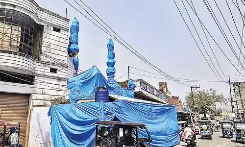
Representational imageRepresentational image
In other words, the pre-monsoon dust storms are not out of the ordinary. But the confluence of multiple factors this year have worked as a perfect storm to give us spectacular dust storms that have covered a larger part of India extending into the northeast and central-south India.
The main question now is whether this monsoon season will be normal. Remembering of course that even the ‘normal’ in terms of the seasonal total can be accomplished with widespread floods and droughts.
The bigger question of course is whether this is an additional indication of global warming and its impacts on the Indian monsoon. It is just another reminder that deforestation and forest degradation and rapid urbanization are only exacerbating the negative outcomes of global warming.
By: Raghu Murtugudde


