Urban Development in Bangaru Telangana
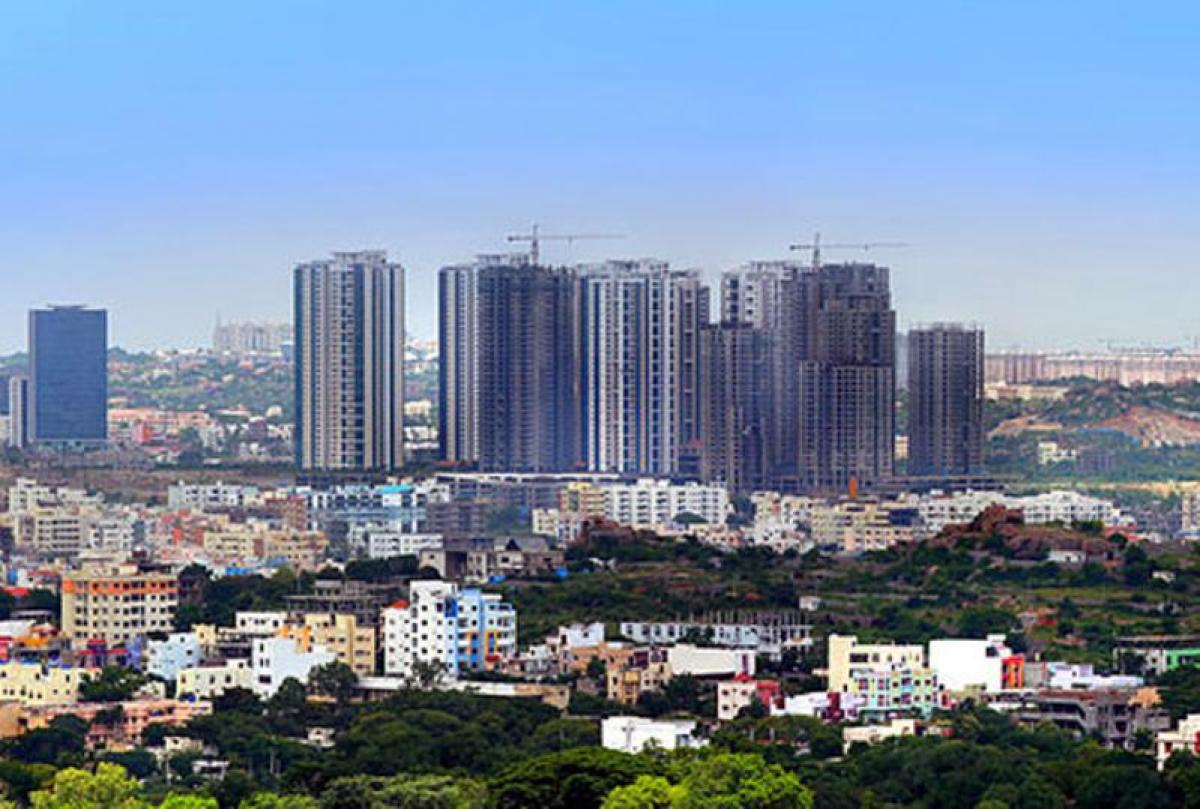
According to 2011 census, urban population of the State is 1.36 crore, representing about 38.88% of total population, as against 31.15% at all India level.
“18th Mercer Quality of Life Study which examined socioeconomic conditions of 230 global cities, ranked Hyderabad at 139th position in the World and 1st position in the country”.
According to 2011 census, urban population of the State is 1.36 crore, representing about 38.88% of total population, as against 31.15% at all India level. Hyderabad is 100 percent urban district, followed by Rangareddy district with 70.22 percent, whereas Mahabubnagar has the lowest percentage of urban population with 14.99 percent. District wise percentages are given in Figure below.
There are 6 Corporations, 2 Special Grade Municipalities, 8- I Grade Municipalities, 15 -II Grade Municipalities, 12- III Grade Municipalities and 25 - Nagar Panchayats, a total of 68 Urban Local Bodies (ULBs) are functioning in the State.
HMDA encompasses a total area of 7228.09 sq.kms., covering all 16 mandals of Hyderabad district, 22 of Rangareddy, 10 of Medak, 5 of Nalgonda and 2 mandals of Mahabubnagar district. Major initiatives undertaken by the Government for improving urban infrastructure are listed below:
Nehru Outer Ring Road:
Outer Ring Road (ORR) is one of the major infrastructure initiative taken for development of roads around Hyderabad. The ORR of 158 Km long passes through Patancheru (on NH- 65 towards Mumbai) – Kandlakoi near Medchal (on NH-44 towards Nagpur)- Shamirpet (on Rajiv Rahadari) – Ghatkesar (on NH-163 towards Warangal) Pedda Amberpet (on NH-65 towards Vijayawada) – Shamshabad (on NH-44 towards Srisailam) – Patancheru (on NH-65 towards Mumbai) providing connectivity to various National Highways, State Highways and MDRs. The ORR is being taken up as an eight lane access controlled expressway. The entire project is being implemented in 3 phases.
Phase-I:-
From Gachibowli to Shashabad – 24.380 Km works are taken up and completed and opened to traffic.
Phase-IIA :-
From Narsingi to Patancheru and Pedda Amberpet to Shamshabad of length 62.30 Km are taken up and completed and opened to traffic.
Phase-IIB:-
The stretch from Patancheru to Pedda Amberpet via Kandlakoi, Shamirpet, Ghatkesar of length 71.30 Kms. has been taken up and all stretches are completed and opened to traffic, except the following:
i. A length of 1.10 Km at Kandlakoi (Near Medchal on NH-44 towards Nagpur) could not be completed due to various reasons.
ii. A length of 10.30 Km from Shameerpet to Keesara could not be completed due to various reasons.
iii. A length of 11.00 Km from Keesara to Ghatkesar could not be completed due to crossing of railway line.
Intelligent Transport System (ITS) in Hyderabad Metropolitan Area:
In order to improve, modernize traffic and transportation system in Hyderabad Metropolitan Area (HMA) and to provide convenience, comfort to the commuters of Hyderabad City, ITS Master Plan for HMA is formulated and planned to implement in three phases.
Radial Roads:
33 Radial Roads have been identified to provide improved connectivity between Inner Ring Road and Outer Ring Road. Out the 33 radial roads seven have been completed to connect western and southern sectors of the ORR. Another five Radial roads connecting Northern and western sectors of ORR are under progress.
Greater Hyderabad Municipal Corporation
State Government is focusing on mitigating serious challenges associated with the increased urbanization and migration.


