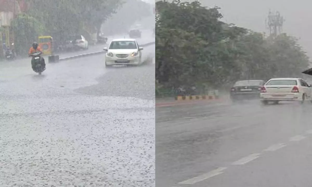
AP to receive rains in next two days due to surface trough

For representational purpose
Amaravati Meteorological Center has revealed that the conditions are more favorable for entry of South West Monsoon into South Bay of Bengal, Andaman Sea and Andaman Nicobar Islands in the next two days.
Amaravati Meteorological Center has revealed that the conditions are more favorable for entry of South West Monsoon into South Bay of Bengal, Andaman Sea and Andaman Nicobar Islands in the next two days.
It said that the north-south trough now extends from Vidarbha to north Kerala over Marathwada and interior Karnataka up to 0.9 km above mean sea level and stated that the surface periodicity in the vicinity of South Tamil Nadu is less than 1.5 km above the mean sea level due to which winds are blowing in south/southwest direction in Andhra Pradesh and Yanam in the lower troposphere area. In this order, there will be slight to moderate thundershowers in many parts of AP in the next 3 days.
According to weather update, light to moderate rain or thundershowers are likely at one or two places in North Coastal Andhra, South Coastal Andhra and Rayalaseema for two days. However, it is learned that there may not be significant changes in maximum temperatures. It said that gusty winds with a speed of 30-40 km per hour are likely to occur at one or two places.
It is also said that light to moderate rain or thundershowers are likely at one or two places on day after tomorrow.


