China consolidates key Galwan position
 China consolidates key Galwan position
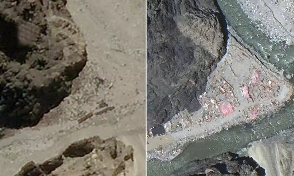
A series of satellite images between May 22 and June 26 shows Chinese construction on the river-bend of the Galwan as it crosses the Line of Actual Control and flows into territory held by India in Ladakh, according to NDTV report
New Delhi: A series of satellite images between May 22 and June 26 shows Chinese construction on the river-bend of the Galwan as it crosses the Line of Actual Control and flows into territory held by India in Ladakh, according to NDTV report.
It was in the area around this embankment, including at an Indian Army patrolling point called Patrol Point 14 (PP-14), that Chinese and Indian soldiers clashed on June 15.
Twenty Indian soldiers and their Commanding Officer, a Colonel, were killed in action here. India believes at least 45 Chinese soldiers, including a Colonel suffered the same fate.
It has been widely reported that the embankment on the Galwan river-bend is in Indian territory, in other words a clear-cut intrusion by the Chinese Army.
A line denoting the LAC here on Google Earth Pro appears to indicate that the extent of the intrusion is 137 metres.
However, since the LAC has never been officially delineated in Ladakh (the root of the present dispute), the extent of the incursion can be debated.


