Mapping of crop colonies yet to kick off
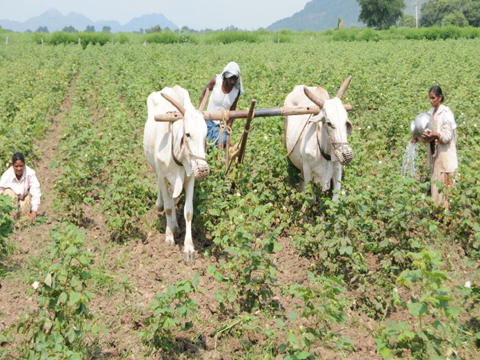
The mapping of muchtouted Crop Colonies that enables farmers to get higher returns for their produce seems to be getting delayed with the Agriculture Department officials preoccupied with the Pradhan Mantri Kisan Samman Nidhi PMKISAN
Warangal: The mapping of much-touted ‘Crop Colonies’ that enables farmers to get higher returns for their produce seems to be getting delayed with the Agriculture Department officials preoccupied with the Pradhan Mantri Kisan Samman Nidhi (PM-KISAN).
It may be noted here that Chief Minister K Chandrashekar Rao, who is keen to set up crop colonies so that to enhance the income of farmers and to provide unadulterated and quality processed foods at competitive prices to people, had asked the officials to come up with plans to divide cultivable land in the State into crop colonies.
The idea is to provide hybrid seeds, free distribution of plants, drip systems and sprinklers for irrigation, for crop colonies. This apart, the government has plans to set up establish food processing units and special vegetable markets connecting these crop colonies that help farmers and consumers to avoid middlemen.
Once the data on mandal-wise cropping patterns, production and productivity is ready, the government gets will focus on establishing food processing units area-wise with the help of National Institute of Food Technology Entrepreneurship and Management (NIFTEM).
Although the government is keen to roll out an action plan before the kharif, it’s not all that easy to map out crop colonies as the agriculture officials are currently busy preparing data for Central Government’s PM-Kisan scheme.
It involves a lot of work such as understanding cropping pattern and market situation to prepare essential data for promoting the idea of crop colonies. Moreover, the agriculture officials need to coordinate with horticulture and rural development departments for conducting survey for crop colonies, which includes 39 points.
The cultivable area in six districts – Warangal Urban, Rural, Jangaon, Mahabubabad, Mulugu and Jayashankar-Bhupalpally - is 4.97 lakh hectares. The cotton and paddy are the two dominant crops occupying 80 per cent of cultivable land. The other major crop in the erstwhile Warangal district is maize with 50,000 hectares.
Of late, a considerable chunk of farmers in Warangal Urban district turned to horticultural crops, according to officials. Speaking to The Hans India, Joint Director of Agriculture, Warangal, Usha Dayal said: “As of now, the department is busy with PM-Kisan scheme and once we complete it we will focus on crop colonies data.” Meanwhile, it’s learnt that authorities are ready with survey format that includes pattadar passbook, Adhaar, mobile phone and bank account number details of farmers, and crops cultivated previously and the returns the farmers had received.


