Andhra Pradesh put on cyclone alert

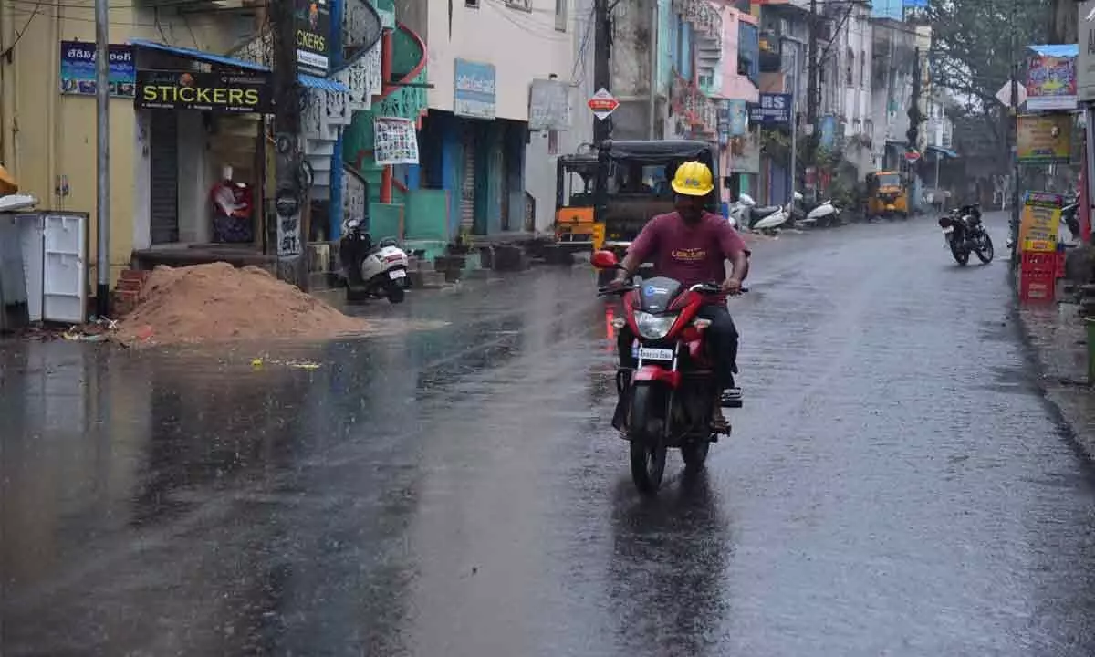
Showers in Rajamahendravaram on Sunday evening under the influence of the cyclonic storm
- Asani to intensify into severe cyclonic storm
- Heavy rains likely in Odisha, Bengal, besides Andhra Fishermen told not to venture into sea till May 11
Kakinada: Andhra Pradesh, Odisha and Bengal are bracing to bear the brunt of cyclone Asani, which is likely to move northwestwards and intensify into a 'severe cyclonic storm' during the next 12 hours, resulting in strong winds and heavy rains in the three states. Heavy rains are likely from Tuesday evening and a yellow warning has been issued.
According to weather office, the transformation of this system into a cyclone occurred much earlier than expected. Initial predictions had indicated that the deep depression would not strengthen into a cyclonic storm until the evening hours of Sunday. However, as per the India Meteorological Department's (IMD) latest update, the cyclone had already formed sometime around 2:30 am on Sunday. From here on, the system will continue to move north westwards, and gradually intensify from cyclonic storm into a severe cyclonic storm over east-central Bay of Bengal by the early hours of Monday. This is when the system is expected to be at its strongest, as it may pack wind speeds up to 60 knots (111 km per hour). Thereafter, its north-westward movement will continue, and by Tuesday evening, severe cyclone Asani will reach west-central and adjoining northwest Bay of Bengal — off the coasts of North Andhra and Odisha. It is then likely to recurve north-north-eastwards and move towards northwest Bay of Bengal, off the Odisha coast.
According to IMD Director-General Mrutyunjay Mohapatra, the aforementioned recurving of the system in the north-eastern direction may end up sparing the states of Odisha and Andhra Pradesh from the possibility of a cyclone landfall.
As for its impact on East India, the IMD has predicted isolated heavy rains over coastal Odisha and north coastal Andhra Pradesh from Tuesday evening onwards, while similar conditions will engulf coastal West Bengal starting Wednesday.
The sea conditions will remain rough throughout, and therefore, the fisherfolk have been advised not to venture into the waters, especially in central Bay of Bengal from May 9-10 and northwest Bay of Bengal from May 10-12.
In view of this, the district administration in Kakinada and Konaseema region has been put on high alert.
District Collector Krithika Shukla directed the officials to be fully prepared to effectively deal with any situation. Fishermen have been advised not to venture into sea till May 11. She instructed the officials to conduct wide awareness and campaign on storm warnings and precautions in the coastal villages through Village and Ward secretariats.
U Kothapalli MRO L Shiva Kumar told The Hans India that six rehabilitation centres have been set up in U. Kothapalli Mandal. He further said that 5,200 people are likely to be affected and hence necessary steps are being taken to protect them. He said that the people staying near the seacoast have been asked to move to safer places.


