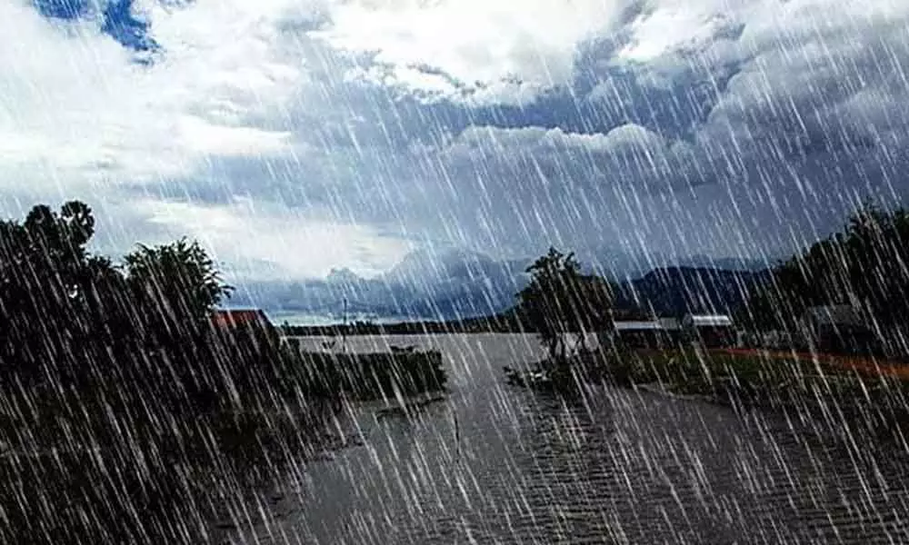
AP weather report: Heavy rain to continue in Coastal areas and Rayalaseema for next three days

Heavy rain to continue in Coastal areas
Despite low pressure weakens in the Bay of Bengal, surface periodicity continues, and rains are expected for the next three days in Andhra Pradesh.
Andhra Pradesh received heavy rainfall due to low pressure in the west-central Bay of Bengal and adjoining the northwestern Bay of Bengal. However, as this low pressure gradually weakens, the surface periodicity associated extends to the mid-tropospheric level and tends toward the southwest, while it continues along the east-west shear zone between 2.1 km and 5.8 km above sea level and tends toward the south. The epicenter was reported below the Pacific Ocean floor, however; no tsunami alert was issued and heavy rains to continue in Rayalaseema in the next three days.
Meanwhile, Srikakulam, Vizianagaram, Guntur, and Krishna districts received light to moderate rains since Tuesday morning. From 8.30 am to 7 pm, Srikakulam district received maximum rainfall with 88.25 mm in Ravivalasa, 86 mm in Kalingapatnam in Gara mandals, 52.75 mm in Salur in Vizianagaram district. In Krishna district Bapulapadu, Nandigama, Gampalagudem, Guntur district Bellankonda, and other places received showers.
On the other hand, between 8.30 am on Monday and 8.30 am on Tuesday, maximum rainfall of 153.25 mm was recorded at Rautulapudi in East Godavari district, 129 mm at Chagallu in West Godavari district, 111.25 mm at Jeelugumilli, 106.5 mm at Vemagiri in Kadium Mandal of East Godavari district and 99.75 mm at Rajahmundry. Heavy rains also lashed Kovvur, Jeelugumilli, Palakoderu, and Bhimadolu areas. Moderate rains fell along the coast and in Rayalaseema.


