Government moots resurvey of lands using advanced technology
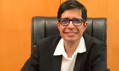
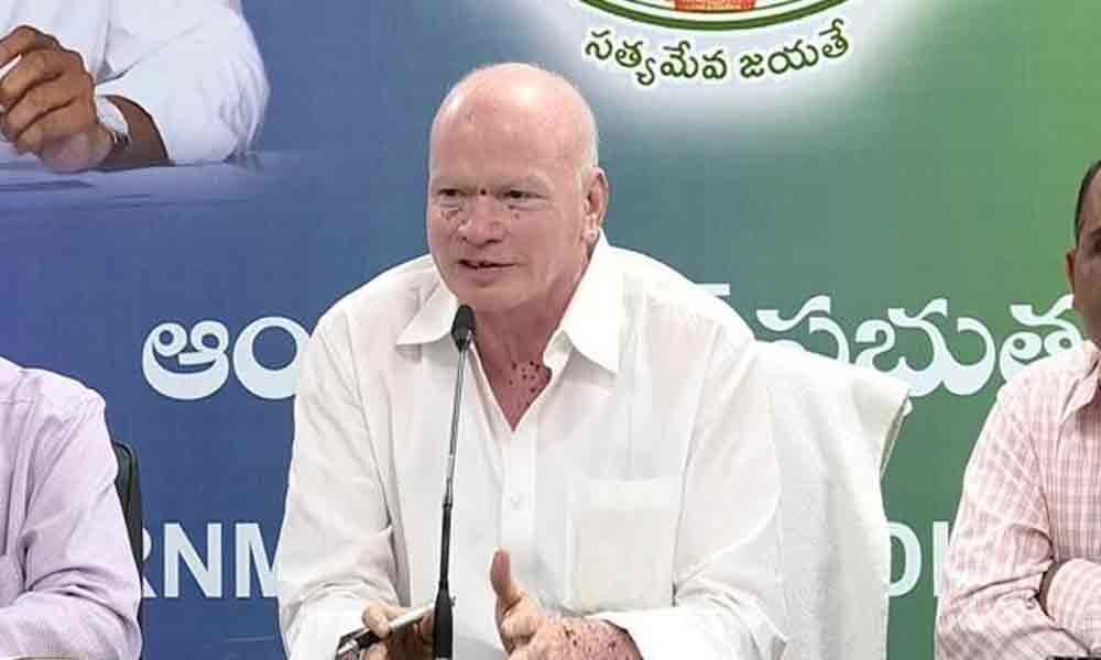 Minister P Subhash Chandra Bose
Revenue Minister P Subhash Chandra Bose said the Revenue and IT departments will conduct resurvey of lands and will update the land records with advanced technology to address the problems of the land owners in the State.
Vijayawada: Revenue Minister P Subhash Chandra Bose said the Revenue and IT departments will conduct resurvey of lands and will update the land records with advanced technology to address the problems of the land owners in the State. He said maintenance of land records is very important task for the government.
The minister inaugurated a seminar on "Building new India by leveraging geospatial technologies" organised by Andhra Pradesh Space Applications Centre (APSAC) in association with Survey of India, Government of India and Geospatial Media and Communications, New Delhi, in a hotel here on Friday.
Addressing the gathering, Subhash Chandra Bose said the land owners had been facing many hardships in the absence of clear land records in the State. He said the previous TDP government had scrapped the traditional Karanam and Munsif system for maintaining land records in 1983 and did not create alternative system to maintain the land records and it led to the problems to the land owners, he added.
Subhash Chandra Bose further said that the last land survey was conducted 111 years ago during the British regime and underlined to need to conduct resurvey of lands in the State. He said Chief Minister Y S Jagan Mohan Reddy has decided to update the land records with latest technology and the government will finalise the tenders soon.
He said there is no co-ordination between the Revenue and Registrations department for more than three decades. He said the revenue department is facing problems to get accurate information on the ownership of lands.
Minister for Industries Mekapati Goutham Reddy said the resurvey and update of lands is very useful to the state. He said with the availability of land records with accurate information ground water can be increased and agriculture lands could be used properly. Lt General Girish Kumar, Surveyor General of India, and others participated.


