ISRO gifts India its own GPS

ISRO gifts India its own GPS
x
Highlights

India on Thursday completed its landmark mission for a regional navigational system on par with US-based GPS with the successful launch of IRNSS-1G, the seventh and last in the constellation of satellites that make up the system.

​Sriharikota: India on Thursday completed its landmark mission for a regional navigational system on par with US-based GPS with the successful launch of IRNSS-1G, the seventh and last in the constellation of satellites that make up the system.

When the IRNSS-1G becomes operational in about a month's time, the Indian Regional Navigation Satellite System (IRNSS) would offer services like terrestrial and marine navigation, disaster management, vehicle tracking and fleet management, navigation aide for hikers and travellers, visual and voice navigation for drivers.

Hailing the successful launch, Prime Minister Narendra Modi named the new system as 'NAVIC' (boatman) as he dedicated it to the people of the country and said SAARC countries can also take advantage of its services. Modi gave the expanded form of 'NAVIC' as 'Navigation with Indian Constellation'.

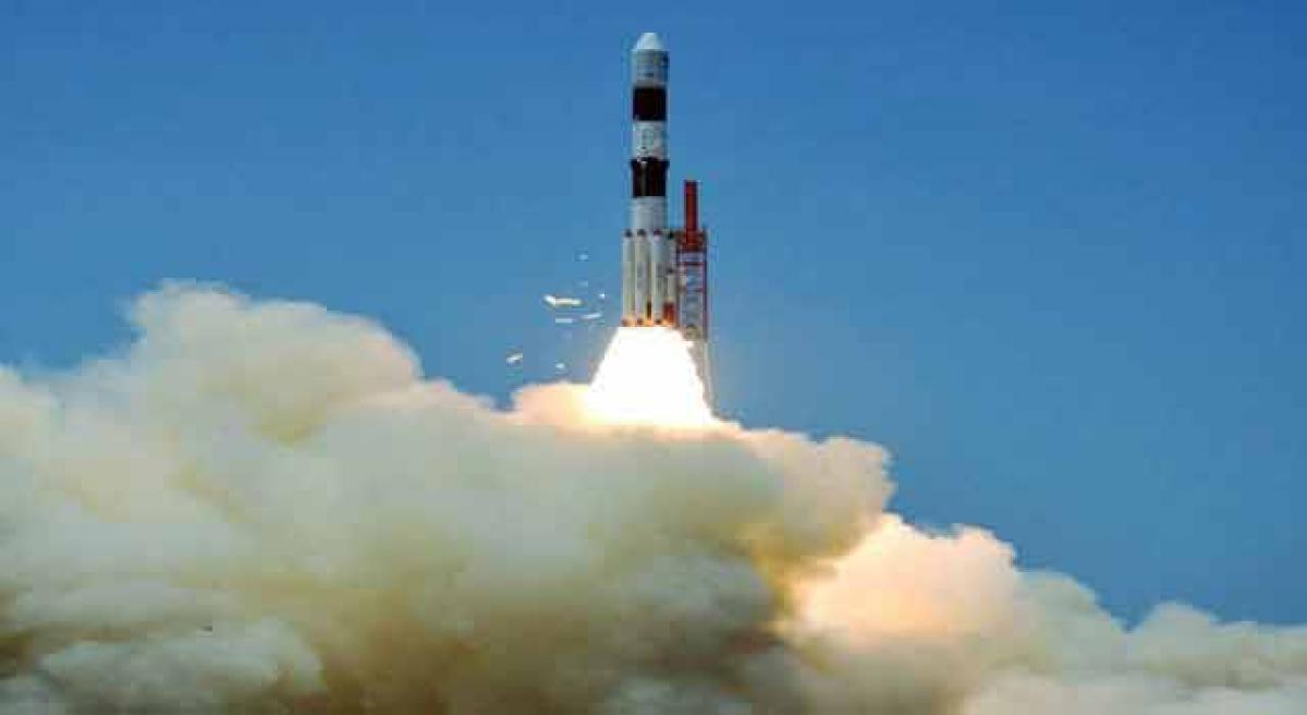
He showered praise on ISRO scientists for giving the "priceless gift" to countrymen, saying they have realised the dream of 'Make-in-India', 'Made-in-India' and 'Made-for- Indians' to fulfill the needs of common people. ISRO's workhorse Polar Satellite Launch Vehicle (PSLV-C33) lifted off from the first launch pad at the Satish Dhawan Space Centre in this spaceport, about 110 km from Chennai, at 12.50 pm and soared into clear skies.

The four-stage rocket injected IRNSS-1G into the intended orbit about 20 minutes after the lift-off as the PSLV marked yet another textbook launch and its 34th consecutive successful mission, reaffirming its dependability.

While IRNSS was already operational with four satellites, the remaining three were required to make it "more accurate and efficient", Indian Space Research Organisation (ISRO) said. The IRNSS comprising the seven satellites will offer services with much 'better accuracy' and targeted position in navigation on par with the Global Positioning System of the United States.

Show Full Article
Print Article
Next Story
More Stories
ADVERTISEMENT
ADVERTISEMENTS