




- Kriti Sanon stuns in black lehenga
- Avengers: Doomsday gets special Diwali surprise for fans in India
- ‘Oh My God’ elevates the love quotient in ‘Donga Naa Koduku’
- ‘Hushaaru 2’ teaser unveiled; this time it’s tequila business
- Divya Dutta says OTT has opened doors to powerful lead roles for women over 40
- Madhoo urges people to spare animals the trauma of firecrackers this Diwali
- Fasting, fatigue and festivities: Can gentle yoga help women feel more balanced on Karwa Chauth?
- Are students learning to think, or just learning to score?
For many voters, poll campaign helps identify their new wards
In Short
Election campaign material has effectively become an informal guide to ward identification

Share :
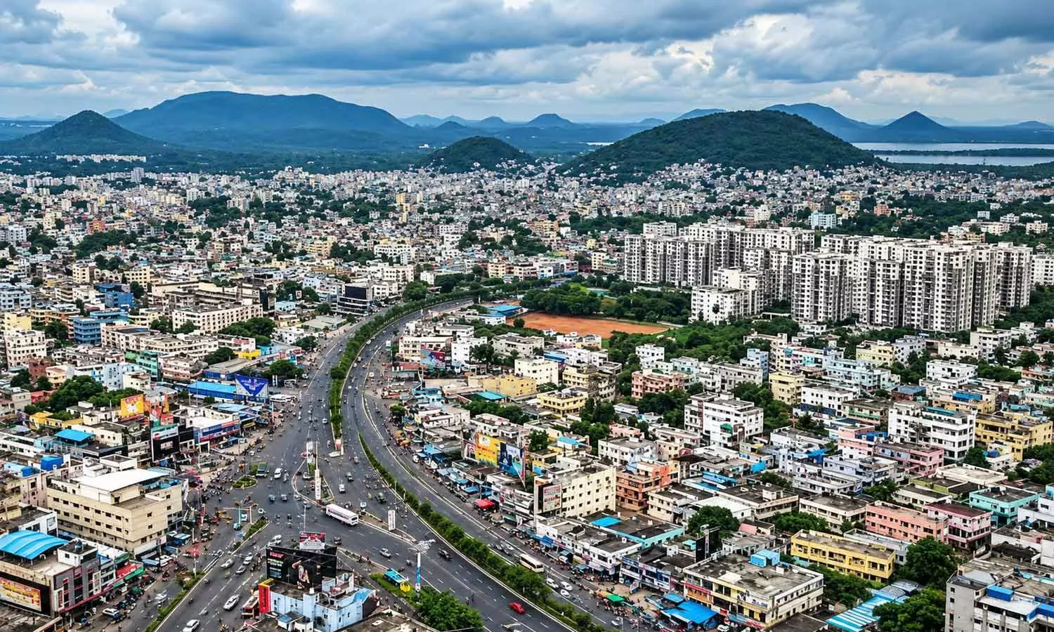
The electoral contest presented voters with an opportunity to learn more about their own wards
visakhapatnam: Visakhapatnam voters under the jurisdiction of the Greater Visakhapatnam Municipal Corporation (GVMC) are experiencing an unusual situation during the ongoing local body elections as many residents still struggle to identify the ward in which they reside.
Ironically, the election campaign, intended to seek public support, has also become an important source of information for voters trying to grasp their own ward boundaries. The confusion stems from the successive rejig of wards undertaken over the years as Visakhapatnam’s municipal administration expanded to accommodate the city’s growing population and geographical spread. The corporation, which once functioned with 72 wards, was reorganised into 98 wards during the previous government.
The changes altered ward boundaries in several localities, leaving residents uncertain about their respective ward boundaries. The problem became more complicated when the NDA government, after coming to power, undertook another round of ward-redivision. As part of the exercise, the number of wards increased from 98 to 120, necessitating further changes to boundaries across the corporation’s jurisdiction. Although the reorganisation was intended to improve administrative convenience and civic service management, it also created a fresh challenge for residents accustomed to the earlier ward divisions.
For many people, the ward number remains unfamiliar even though they have lived at the same address for years. The address particulars mentioned in their Aadhar cards and other documents continue to reflect older administrative references, while the ward boundaries have changed over successive reorganisations. As a result, residents cannot always determine their present ward simply by looking at their existing documents or relying on the ward number they previously knew.
Lack of adequate public awareness about the revised boundaries has further aggravated the situation. While the authorities completed the delimitation exercise ahead of the GVMC elections, many residents were not sufficiently informed about the changes or provided with clear information to identify their newly-allotted wards.
As a result, uncertainty prevailed in several localities as the local body poll process gathered momentum. The announcement of candidates by political parties and the intensification of campaigning have now brought the issue into focus. Candidates are reaching out to voters through flex banners displaying ward numbers, public address systems and door-to-door campaigns. The campaigning activities are gradually helping residents identify the wards in which they are eligible to vote and understand the new administrative divisions.
In several neighbourhoods, election campaign material has effectively become an informal guide to ward identification. Residents who were previously unaware of their ward numbers are now attempting to establish their electoral identity by observing the banners put up by contesting candidates and listening to campaign announcements. For some, the election campaign has provided their first clear indication that their locality now falls under a different ward number. The situation highlights the challenges that can arise when administrative boundaries are altered without a public information campaign.
While increasing the number of wards may help distribute administrative responsibilities and improve civic governance, the benefits can be fully realised only when residents are clearly informed about the changes. With 120 wards now forming the electoral map of the GVMC, the authorities face the task of ensuring that every voter knows their ward number, polling station and electoral particulars.
Publishing ward-wise maps, making updated boundary information easily accessible online, displaying details at ward and secretariat offices, and conducting local awareness programmes could help resolve the confusion. For now, the electoral contest presents voters with an opportunity to learn more about their own wards.
As candidates campaign vigorously to win public support, residents are not only listening to election promises but also discovering where their localities fit into the corporation’s revised electoral map. The GVMC elections have therefore brought an unusual reality to light: for many residents, identifying their ward has become an important part of the election experience.
Cyclone Arnab devastates AP coast
MPTC, ZPTC polls rescheduled to Nov 5
PM Asks AP CS to Expedite Land Acquisition of Errupalem-Amravati-Namburu Railway Line
Internet, mobile networks hit slow lane
IMD Warns of Flash Flood Risk in 13 AP Districts
El Niño Threat: Telangana CM Orders Treated Water Use to Conserve Drinking Water


