VMRDA lands to be integrated with new software
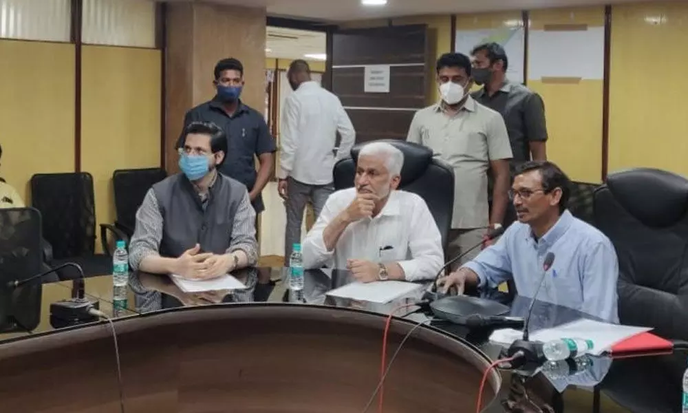
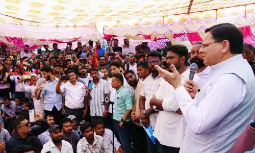
Rajya Sabha member V Vijayasai Reddy and VMRDA Commissioner P Koteswara Rao at a meeting in Visakhapatnam on Friday
- The VMRDA owns 10,158 acres of government land in Visakhapatnam, Vizianagaram and East Godavari districts
- The technology will alert the authorities concerned from time to time via SMS or email as soon as the lands get encroached
- It will also be useful in detecting illegal layouts
Visakhapatnam: Rajya Sabha member V Vijayasai Reddy launched the 'Change Detection Software' at Visakhapatnam Metropolitan Region Development Authority (VMRDA) office here on Friday.
Briefing the software details to the MP, VMRDA Commissioner P Koteswara Rao said as a part of the pilot project, a Differential Global Positioning System (DGPS) survey was conducted so far for 228 acres of land at Paradesipalem and Madhurawada areas that fall under the ambit of VMRDA with the help of the software.
Further, the Commissioner explained to the MP that the Geographic Information System (GIS) based software was developed with the help of ESRI team which detects intrusions with the help of satellite images.
Koteswara Rao said VMRDA owns 10,158 acres of government land in Visakhapatnam, Vizianagaram and East Godavari districts. After rectifying the lapses found in the pilot project, the Commissioner mentioned, VMRDA lands will also be integrated with the software from March 31. Koteswara Rao said the technology will alert the authorities concerned from time to time via SMS or email as soon as the lands get encroached and the technology will also be useful in detecting illegal layouts.
Additional Commissioner Manazir Jilani, Secretary Ganesh Kumar, Estate Officer S V Lakshmana Murthy and ESRI representatives participated in the meeting.


