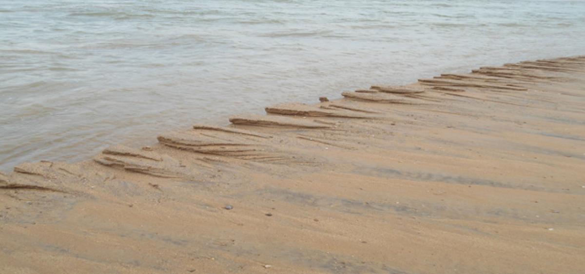
Nellore coast under strain due to severe erosion

Latest studies prove that Nellore shoreline is indicating seaward advance due to rise in sea level, which poses threat in the form of floods and submergence during natural disasters that might possibly hit tourism revenue.
Nellore: Latest studies prove that Nellore shoreline is indicating seaward advance due to rise in sea level, which poses threat in the form of floods and submergence during natural disasters that might possibly hit tourism revenue.
A research by scientists of Andhra Pradesh Space Application Centre (APSAC), Hyderabad revealed that about 24 per cent of the entire shoreline in Nellore that spreads in 160 km experienced erosion, while 18 per cent has stable coast in the district and the remaining have mostly accreted.
According to experts, the coastal zone is under increasing pressure from human activities such as fishing, coral and sand mining, mangrove harvesting, seaweed farming, sewage disposal, urban expansion and tourism. Researchers carried out a study on the coastline and found significant changes in it.
Satellite images of the shorelines from 1989, 1999, 2005, 2010, 2012 and 2015 were used for the study. Interestingly, during the period, erosion was moderately high compared to accretion in the area.
About 87.6 km of coastline was found to be accreting in nature followed by 38.4 km of coastal line eroding and stable coastline of 41.4 km was found. On the whole, around 130 km of shoreline in the district has been facing severe pressure either from erosion or accretion.
The erosion and accretion pattern observed along the coast is influenced mainly by coastal process and reverie inputs. The variation in river mouth morphology was quite significant and changing rate was more along the river zone.
Basing on status the seas have been classified as high erosion, medium erosion, low erosion, stable coast, low accretion, medium accretion and high accretion areas. Nellore has been classified as high erosion to high accretion affecting the Nellore coast. “Erosion is an important natural risk along the coastal wetlands.
This has to be prevented by taking timely measures. If the government is planning for improving tourism, the beach fronts have to be strengthened,” said Dr VSN Murthy, scientist in-charge of National Institute of Oceanography, Visakhapatnam.
He added that accretion invariably affects other areas in the form of erosion as result of port locations in the State.
Interestingly, between 1999 and 2005 there was severe erosion in all along the Nellore coast in north of Penna river and Upputeru river areas. Accretion has been occurring in southern parts of the district.


