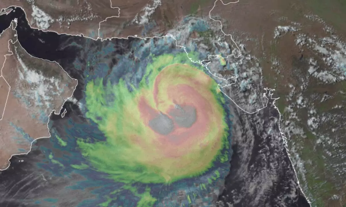
Cyclone Biparjoy approaching landfall near border of India and Pakistan

Cyclone Biparjoy approaching landfall near border of India and Pakistan
x

Cyclone Biparjoy approaching landfall near border of India and Pakistan

Highlights

One of strongest tropical cyclones on record to roam the North Indian Ocean is bearing down on the coast of India and Pakistan.

Cyclone Biparjoy — the equivalent of a Category 2 hurricane — reached its top intensity Tuesday with peak winds around 105 mph (90 knots) in the northeast Arabian Sea.

The storm is forecast to make landfall near the border of India and Pakistan around midday Thursday local time, with sustained winds of 80 mph (70 knots), according to the India Meteorological Department. Biparjoy is expected to produce torrential rain, damaging winds and a dangerous storm surge — or rise in ocean water above normally dry land at the coast.

Cyclone warnings are in effect for the Saurashtra and Kutch coasts of India’s Gujarat state, running from near the Pakistan border to the Gulf of Khambhat, with storm surge warnings in effect for much of the same zone.

The population density where Biparjoy is expected to make landfall is comparatively low relative to much of the broader South Asian subcontinent. But located near and just south of the mouth of the Indus River, much of the region is low-lying and susceptible to storm surge.

A swath of 6 to 12 inches of rain will probably follow the storm’s track along and south of the Indo-Gangetic Plain, then into the Great Indian Desert. This will lead to flooding. Some landslides are also possible in any elevated areas, particularly as the storm remnants run into the foothills of the Himalayas. according to Washington Post.

Show Full Article
Print Article
Next Story
More Stories
ADVERTISEMENT
ADVERTISEMENTS