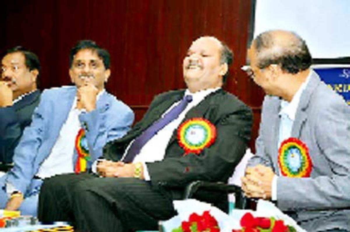
Geospatial tech meeting rural needs: NRDMS chief

Geospatial tech meeting rural needs: NRDMS chief
x
Highlights

Geospatial Technologies are addressing various issues related to the rural development, urban planning, health, education and disaster management and also hastening country’s economic growth, said Dr Bhoop Singh, head of National Resources Data Management System, Department of Science and Technology.

Visakhapatnam: Geospatial Technologies are addressing various issues related to the rural development, urban planning, health, education and disaster management and also hastening country’s economic growth, said Dr Bhoop Singh, head of National Resources Data Management System, Department of Science and Technology.

Inaugurating the Winter School on “Geospatial Technologies-Application to Science and Engineering Research” organised by the Department of Environmental Studies, GITAM Institute of Science in GITAM University, here on Saturday, Singh said that as part of Digital India programme, the government is developing a mission programme on “National Geographical Information System to organise and standardise seamless GIS assets for the entire country and a national GIS technological platform for GIS enabled data applications and services.

In addition, the Department of Science and Technology is making concerted efforts for developing National Geospatial Policy to address all possible issues related to sharing of maps, point data to the departments concerned, individual enquiries to help in development and planning mechanism for area specific problems.

He also informed that the NRDMS is preparing a National Urban Information System with geospatial information of 152 cities which also helps to plan the Smart Cities in a better way.

“Within one year time, the public will get the entire India geospatial information on web”, he said and added that 30 per cent of court cases in India are related to land issues and the courts are not getting correct information about the lands. He announced that considering the issue, the NRDMS is preparing geo-tags to all lands. He observed that there was a need to develop trained manpower to handle vast area of geospatial data acquisition, integration and applications in the country. The government of India is now planning to establish 15 geospatial technology chairs in selected universities in the country to train the human resource in this field.

DRDO distinguished fellow Prof. Iyyanki Murali Krishna said that there was a difference between remote sensing and geospatial technology.

The cities can be planned in a better way for monitoring water resources, transportation, electricity, construction of new buildings, urban development projects, telecom services with geospatial technology.

Our Bureau
Show Full Article
Print Article
Next Story
More Stories
ADVERTISEMENT
ADVERTISEMENTS