Live
- GMR Airports Unveils AI-Powered Digital Twin Platform to Transform Airport Operations
- India poised to become leading maritime player: PM Modi
- Top Causes of Kidney Stones and How to Recognize Silent Symptoms
- India’s renewable energy capacity logs 14.2 pc growth at 213.7 GW
- Winter Session of Odisha Assembly adjourned sine die
- Biden calls Trump's tariff approach 'major mistake'
- After Drama Over Eknath Shinde’s Chief Minister Race, Maharashtra Cabinet Formation Faces New Tensions
- Egyptian FM, Blinken discuss recent developments in Syria
- Iran's supreme leader says Syria's developments result of US-Israeli 'plot'
- Elon Musk to Purchase $100 Million Luxury Mansion Next to Donald Trump's Mar-a-Lago, Report Reveals
Just In

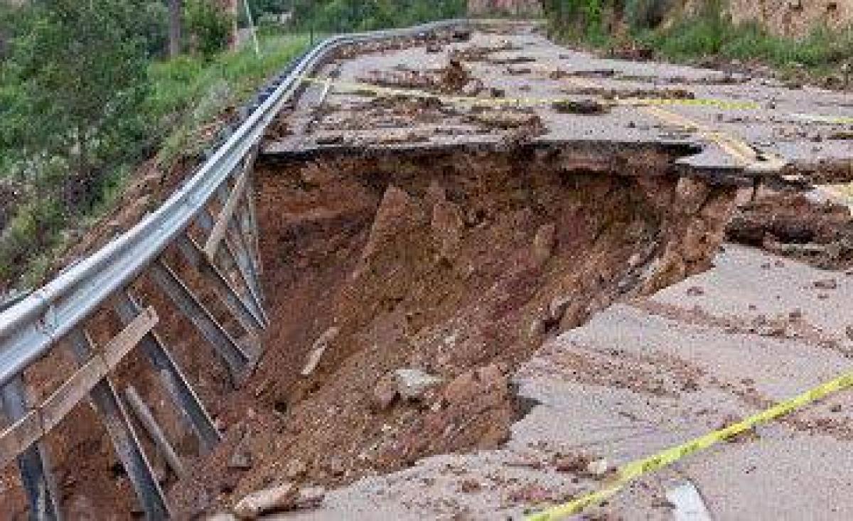
Almost a year after the devastating 7.8 magnitude earthquake hit the Himalayan nation of Nepal, a new international report says a staggering 4,312 landslides were triggered by the temblor and aftershocks.
Almost a year after the devastating 7.8 magnitude earthquake hit the Himalayan nation of Nepal, a new international report says a staggering 4,312 landslides were triggered by the temblor and aftershocks.
It says the major destruction by the landslides was of newly-developed settlements, and the total loss and damage was estimated at $7 billion.
The report "Impact of Nepal's 2015 Gorkha Earthquake-Induced Geohazards" says the lives of eight million people, almost one-third of Nepal's population, were impacted. But the damage due to landslides and glacier lake floods was less than anticipated.
Supported by Skoll Global Threats Fund, the Kathmandu-headquartered International Centre for Integrated Mountain Development (ICIMOD), along with scientists from the US, Europe and the region prepared the report by mapping the landslides using satellite images, aerial surveys and field visits.
In Nepal, home to more than one-third of the Himalayan range, the damage by the quake was devastating, compared to the Tibet Autonomous Region in China or India and Bangladesh.
Within Nepal, more than 8,800 people died, 22,000 were injured and 100,000 displaced.
The earthquake on April 25, 2015, pushed an additional 2.5 to 3.5 percent of the Nepalese population into poverty in 2015-16, the researchers wrote in their 36-page report that aims to improve the management of geohazards.
Scientists have discovered that there was major destruction to the newly-developed human settlements compared to older ones.
These settlements were along the Pasang Lamu highway in the Trishuli valley and Kodari highway in the Bhotekoshi and Sunkoshi valleys. Tatopani village, bordering China, too was hit by rock falls.
According to the report, the temblor induced two disastrous avalanches -- one in Langtang valley and another at the Mount Everest base camp.
The most destructive and probably the largest landslide triggered was a massive one initiated nearly 7,000 metres above mean sea level which completely buried Langtang village.
The Mount Everest base camp was also hit by an earthquake-induced ice avalanche, even though the shaking at this point was light.
The collapsing icy mass swept away a part of the Everest base camp and claimed 22 lives.
It was the worst single day in the history of Everest and occurred a year after the previous worst day in the mountain's history on April 18, 2014, when ice avalanches hit the Everest climbing route over the Khumbu glacier, killing 16 people, the researchers wrote.
The indication is that ice on the mountain was ready to collapse. Springtime melting triggered the collapse in 2014 and probably conditioned the ice for collapse in 2015 so that only a light shaking was needed to break it loose, they said.
The saving grace is that the earthquake did not cause floods from the outburst of glacial lakes.
"This was both fortunate and surprising. The good news, however, does not necessarily indicate that future earthquakes will have a similarly low impact as they could strike closer to and more directly beneath the glacial lakes," said the researchers.
They warned that many of the landslides and landslide dams and possibly the increased instability of glacial lakes have the potential to lead to a chain of hazards in the future.
The situation of Himalayan glacial lakes needs to be observed carefully in China, India and Nepal to confirm the preliminary conclusions that the risk of floods from the outburst of glacial lakes has not been visibly heightened by the earthquake, says the report.
"After the earthquake we joined hands with regional and international experts to map the positions of landslides and debris flows. We undertook several studies to assess its impact," ICIMOD director general David J. Molden said.

© 2024 Hyderabad Media House Limited/The Hans India. All rights reserved. Powered by hocalwire.com


