Secunderabad Cantonment Board all set to take up property verification survey from Nov 2
Secunderabad Cantonment Board
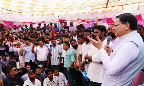
The Secunderabad Cantonment Board (SCB) on Monday conducted a trial survey to create awareness among the SCB residents and 0fficials on the door-to-door physical verification survey on properties which will begin from November 2.
Secunderabad: The Secunderabad Cantonment Board (SCB) on Monday conducted a trial survey to create awareness among the SCB residents and 0fficials on the door-to-door physical verification survey on properties which will begin from November 2.
According to SCB officials, special teams including SCB tax bill collectors and outsourcing staff will go door-to-door in the Cantonment limits and collect details like name of the property owner, nature of structure (individual/flat in apartments), property tax indication number (PTIN), old and new house number and locality (SCB ward).
Ch Umashankar assistant cantonment planner, SCB, said, "To give attributes and also enable us to know the details and compile the detail of property owners from the exciting tax records, the SCB has planned to conduct door-to-door to physical verification survey on properties."
In August, SCB carried out a drone survey and created an orthorectified image of 5 cm radius and through that we have covered 18 square km out of 40 sq km of Cantonment's geographical area, by using high-end high-resolution drones. During the survey, we traced footprints of 46,000 properties other than A1 and B3 lands, 420 km length of the road network, another 25 km of the rail network, 27 km length of nala/drains network and 16,000 manholes."
Hence, a door-to-door survey has been planned in order to give attributes about the drone survey to each property. After the physical survey, we will create a base map which will give a clear image on who is the property owner, how much is the building area, how many floors are there, what is the land area and how much tax they are paying. We can only identify the right deails by doing a ground survey and this data will be compared with the drone survey. All the data that will be collected during the physical survey will be uploaded to the mobile application that was developed recently for uploading the property data, added a SCB senior officer.


