Live
- Chittoor police crack down on drunk driving with 963 cases
- Vision document historical, says Keshav
- YSRCP to boycott elections to WUAs
- Farmers led by YSRCP leaders stage protest against graft
- MLA Dhanpal reminds Cong of promise of gold for brides
- Dy CM Pawan hails Swarna Andhra@2047 vision document
- Ensure success of Mathematic Talent exam
- Atchannaidu expresses concern over fall in tomato price
- Goshamahal Welfare Assn petition Collector seeking withdrawal of Osmania Hosp plans at stadium
- Indiramma Housing scheme 4L applications received in RR dist
Just In
Telangana government gets award for geospatial mapping of properties


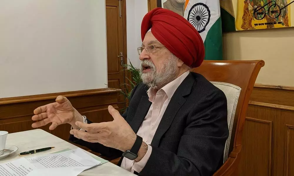
Union Minister for Housing and Urban Affairs Hardeep Singh Puri
- Union Minister for Housing and Urban Affairs Hardeep Singh Puri presents the award
- Bhuvan Integrated Application developed by CDMA and NRSC helps in identifying the under-assessed or un-assessed properties by matching their images with the satellite imagery
Hyderabad: The Telangana government on Tuesday received an award for the use of geospatial mapping of urban properties, which helped in capturing four lakh properties for assessment of property tax.
The award was presented by Union Minister for Housing and Urban Affairs Hardeep Singh Puri in the second edition of 'Janaagraha City Governance Awards' function held at New Delhi.
According to officials in Commissioner and Directorate of Municipal Administration (CDMA), the municipal administration department in coordination with National Remote Sensing Centre (NRSC) developed 'Bhuvan Integrated Application' by mapping all the properties in all Urban Local Bodies (ULBs) and capturing all major revenue sources of ULBs like property tax, trade licence, water tax, advertisement tax, cell towers etc.
Through this application, realistic data was captured with an aim to increase in tax base without actually increasing the tax rates. This app helps in identifying the under-assessed or un-assessed properties by matching their images with the satellite imagery which would augment the revenue by identifying the under assessed and un-assessed.
The initiative also helped the citizen to view his/her property in a spatial form with complete property details on a single platform without visiting the local body office and avoiding human interface.
On the other hand, ULB officials can review the details without visiting the property and review the tax accordingly. Integrated mobile app has been developed by NRSC to capture property tax assessments (20.80 lakh assessments), water tap connection assessments (6.79 lakh), trade licence assessments (1.45 lakh), advertisement hoardings (4,000), cell towers. Around 4 lakh properties were captured as of now, and it has been planned to integrate captured assessments with respective modules to have realistic data and also to increase the tax base without actually increasing the tax rates.

© 2024 Hyderabad Media House Limited/The Hans India. All rights reserved. Powered by hocalwire.com


